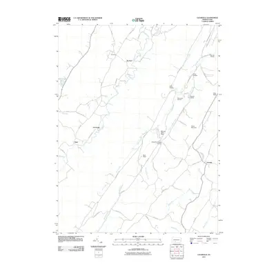
2010 Map of Clearville
USGS Topo · Published 2010About this map
Cove Creek and Clear Creek wind through the valleys of Bedford County, defining a landscape marked by parallel ridges and small, dispersed settlements. This 2010 topographic survey documents the rural character of Colerain Township, where family names are etched into the geography through features like Ott Town, Koontzville, and Diehl. The terrain is dominated by prominent elevations such as Polish Mountain and Tussey Ridge, while many smaller drainage ways bear distinctive local names, including the oddly named Milk and Water Creek. Genealogists and local historians will find value in the location of the Indian Springs Cemetery near Indian Springs, as well as the network of rural roads such as Chaneysville Rd and Frame Church Rd that connect these agricultural communities. The map highlights the area's transition between wooded highlands and valley farmsteads near the village of Clearville.
Find a feature on this map
59 named features on this map. Tap any name to fly to it.
Don’t see what you’re looking for? This feature index may not catch every label — zoom into the map to look around manually.
Map Details
Editions of this 2010 Clearville Map
This is the sole edition of this map. No revisions or reprints were ever made.
Other maps of this area

1900 · Everett
USGS Topo · 1:62,500

1902 · Everett
USGS Topo · 1:62,500

1908 · Bedford
USGS Topo · 1:62,500

1910 · Bedford
USGS Topo · 1:62,500

1927 · Clearville
USGS Topo · 1:48,000

1927 · Hyndman
USGS Topo · 1:62,500

1931 · Clearville
USGS Topo · 1:62,500

1931 · Hyndman
USGS Topo · 1:62,500

1944 · Hyndman
USGS Topo · 1:62,500

1944 · Clearville
USGS Topo · 1:62,500
Featured Places
- Colerain Township, PA
- Bedford Township, PA
- West Providence Township, PA
- Clearville, Monroe Township
- Monroe Township, PA