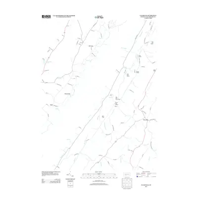
2013 Map of Clearville
USGS Topo · Published 2013About this map
Clearville and several small rural settlements punctuate a landscape defined by sharp ridges and steep hollows in this 2013 depiction of Bedford County. The terrain is notably etched with curiously named features such as Milk and Water Ridge and its corresponding Milk and Water Cr, suggesting early local naming traditions tied to the land's resources. Small hamlets like Ott Town, Koontzville, and Springville are connected by a network of winding mountain roads, including Yellow Rd and Moon Hollow Dr.
Find a feature on this map
83 named features on this map. Tap any name to fly to it.
Don’t see what you’re looking for? This feature index may not catch every label — zoom into the map to look around manually.
Map Details
Editions of this 2013 Clearville Map
This is the sole edition of this map. No revisions or reprints were ever made.
Other maps of this area

1900 · Everett
USGS Topo · 1:62,500

1902 · Everett
USGS Topo · 1:62,500

1908 · Bedford
USGS Topo · 1:62,500

1910 · Bedford
USGS Topo · 1:62,500

1927 · Clearville
USGS Topo · 1:48,000

1927 · Hyndman
USGS Topo · 1:62,500

1931 · Clearville
USGS Topo · 1:62,500

1931 · Hyndman
USGS Topo · 1:62,500

1944 · Hyndman
USGS Topo · 1:62,500

1944 · Clearville
USGS Topo · 1:62,500
Featured Places
- Colerain Township, PA
- Bedford Township, PA
- West Providence Township, PA
- Clearville, Monroe Township
- Monroe Township, PA