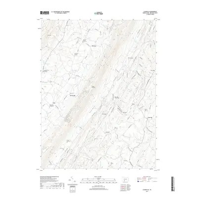
2019 Map of Clearville
USGS Topo · Published 2019About this map
Tussey Mountain and Warrior Ridge dominate this portion of Bedford County, creating a series of narrow valleys defined by a strictly linear drainage pattern. The settlement of Clearville sits on the eastern edge of these ridges, while smaller hamlets like Ott Town, Diehl, and Koontzville are scattered across the west and central valleys. The landscape is heavily marked by its religious and pioneer history, evidenced by numerous small family and church burial grounds, including the Pennel Farm Cem and Cornell Graveyard.
Find a feature on this map
102 named features on this map. Tap any name to fly to it.
Don’t see what you’re looking for? This feature index may not catch every label — zoom into the map to look around manually.
Map Details
Editions of this 2019 Clearville Map
This is the sole edition of this map. No revisions or reprints were ever made.
Other maps of this area

1900 · Everett
USGS Topo · 1:62,500

1902 · Everett
USGS Topo · 1:62,500

1908 · Bedford
USGS Topo · 1:62,500

1910 · Bedford
USGS Topo · 1:62,500

1927 · Clearville
USGS Topo · 1:48,000

1927 · Hyndman
USGS Topo · 1:62,500

1931 · Clearville
USGS Topo · 1:62,500

1931 · Hyndman
USGS Topo · 1:62,500

1944 · Hyndman
USGS Topo · 1:62,500

1944 · Clearville
USGS Topo · 1:62,500
Featured Places
- Colerain Township, PA
- Bedford Township, PA
- West Providence Township, PA
- Clearville, Monroe Township
- Monroe Township, PA