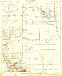
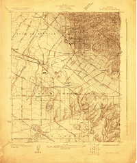
1925 Map of Clearwater
USGS Topo · Published 1932About this map
The dense industrial and residential growth of the Los Angeles basin is evident in this mid-1920s survey. The landscape is dominated by the intensive development at Signal Hill, where a concentrated field of Oil Wells stands near the base of the hill above Willowville. To the north, the burgeoning communities of Clearwater, Hynes, and Bellflower are connected by the grid of the Pacific Electric railway and the Southern Pacific railroad.
Find a feature on this map
44 named features on this map. Tap any name to fly to it.
Don’t see what you’re looking for? This feature index may not catch every label — zoom into the map to look around manually.
Map Details
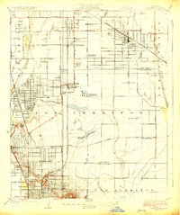
Editions of this 1925 Clearwater Map
2 editions found
Other maps of this area

1896 · Downey
USGS Topo · 1:62,500

1899 · Downey
USGS Topo · 1:62,500

1901 · Southern California Sheet No. 1
USGS Topo · 1:250,000

1902 · Downey
USGS Topo · 1:62,500

1904 · Southern California Sheet No. 1
USGS Topo · 1:250,000
1923 · Bell
USGS Topo · 1:24,000
1923 · Artesia
USGS Topo · 1:24,000
1923 · Whittier
USGS Topo · 1:24,000

1923 · Wilmington
USGS Topo · 1:24,000
1923 · Watts
USGS Topo · 1:24,000