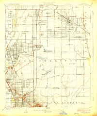
1925 Map of Clearwater
USGS Topo · Published 1925About this map
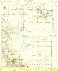
Signal Hill dominates the southern landscape of this mid-1920s survey, its slopes densely packed with Oil Wells that fueled the region's industrial explosion. To the north, the transition from agricultural tracts to refinery centers is evident near Virginia City, where the Gillons Process Refinery and General Petroleum Refinery established an early petrochemical footprint. The map documents a period of rapid suburban and industrial expansion, with the Pacific Electric and Southern Pacific rail lines connecting emerging settlements like Bellflower, Hynes, and Clearwater. Amidst this growth, specialized landmarks such as the Federal Telegraph Co Wireless Sta and the Virginia Country Club reflect the diverse social and technological infrastructure of the era. The hydrology of the area remains prominent, featuring the Los Angeles River and Bouton Lake before extensive twentieth-century channelization altered the natural drainage patterns of the Los Cerritos plain.
Find a feature on this map
45 named features on this map. Tap any name to fly to it.
Don’t see what you’re looking for? This feature index may not catch every label — zoom into the map to look around manually.
Map Details
Editions of this 1925 Clearwater Map
2 editions found
Other maps of this area

1896 · Downey
USGS Topo · 1:62,500

1899 · Downey
USGS Topo · 1:62,500

1901 · Southern California Sheet No. 1
USGS Topo · 1:250,000

1902 · Downey
USGS Topo · 1:62,500

1904 · Southern California Sheet No. 1
USGS Topo · 1:250,000
1923 · Bell
USGS Topo · 1:24,000
1923 · Artesia
USGS Topo · 1:24,000
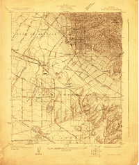
1923 · Whittier
USGS Topo · 1:24,000

1923 · Wilmington
USGS Topo · 1:24,000
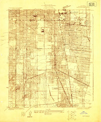
1923 · Watts
USGS Topo · 1:24,000