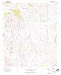
1974 Map of Cleator
USGS Topo · Published 1977About this map
Mining operations and early transportation routes define this portion of the Prescott National Forest in Yavapai County. The settlement of Cleator serves as a focal point, surrounded by a high concentration of hard-rock prospects and developed shafts including the Golden Turkey Mine, the French Lilly Mine, and the Blue Bell Mine. These sites, often located along drainages like Turkey Creek and Crazy Basin Creek, reflect the area's intense mineral exploration history.
Find a feature on this map
49 named features on this map. Tap any name to fly to it.
Don’t see what you’re looking for? This feature index may not catch every label — zoom into the map to look around manually.
Map Details
Editions of this 1974 Cleator Map
2 editions found
Other maps of this area

1887 · Prescott
USGS Topo · 1:250,000

1892 · Prescott
USGS Topo · 1:250,000

1903 · Bradshaw Mountains
USGS Topo · 1:125,000

1947 · Crown King
USGS Topo · 1:62,500

1947 · Bumblebee
USGS Topo · 1:62,500

1947 · Mayer
USGS Topo · 1:62,500

1947 · Mt. Union
USGS Topo · 1:62,500

1948 · Bumblebee
USGS Topo · 1:63,360

1948 · Crown King
USGS Topo · 1:63,360

1948 · Mt. Union
USGS Topo · 1:63,360