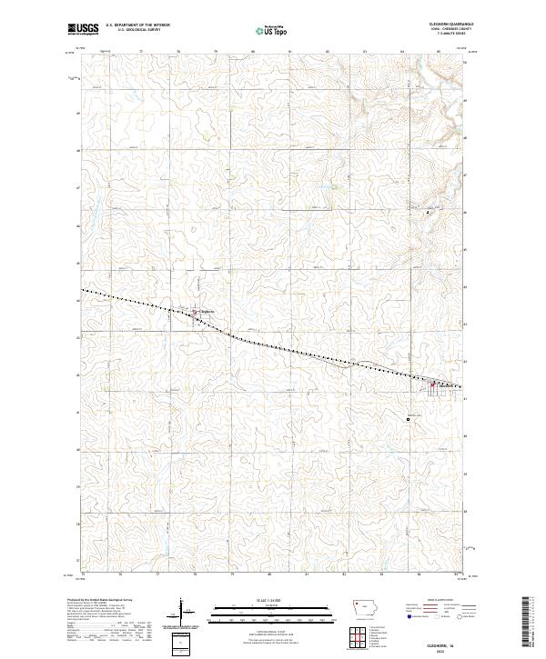
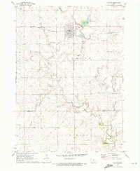
2022 Map of Cleghorn
USGS Topo · Published 2022About this map
Cleghorn and Meriden anchor this modern survey of northwest Iowa, where the agricultural grid is intersected by a series of winding tributaries. The W Fork Little Sioux River cuts through the western edge of the township, while Whiskey Cr and Willow Cr feed the drainage system to the south. This map captures the region's rural character, dominated by a dense network of secondary roads like Co Hwy L40 and Hamilton Rd that connect isolated farmsteads and small municipal centers.
Find a feature on this map
34 named features on this map. Tap any name to fly to it.
Don’t see what you’re looking for? This feature index may not catch every label — zoom into the map to look around manually.
Map Details
Editions of this 2022 Cleghorn Map
This is the sole edition of this map. No revisions or reprints were ever made.
Other maps of this area

1954 · Fort Dodge
USGS Topo · 1:250,000

1957 · Fort Dodge
USGS Topo · 1:250,000

1958 · Fort Dodge
USGS Topo · 1:250,000

1969 · Cleghorn
USGS Topo · 1:24,000

1969 · Fielding
USGS Topo · 1:24,000
1969 · Marcus
USGS Topo · 1:24,000

1969 · Cherokee South
USGS Topo · 1:24,000
1969 · Granville East
USGS Topo · 1:24,000
1969 · Quimby
USGS Topo · 1:24,000
1971 · Paullina
USGS Topo · 1:24,000