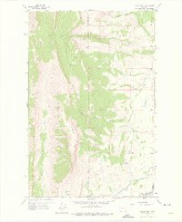
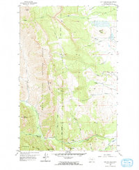
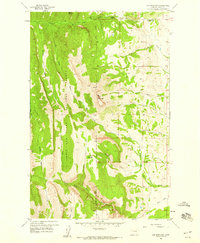
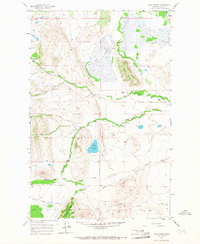
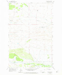
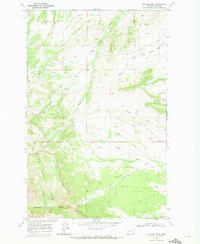
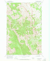
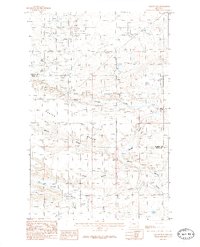
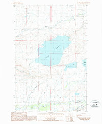
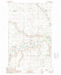
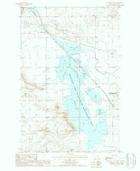
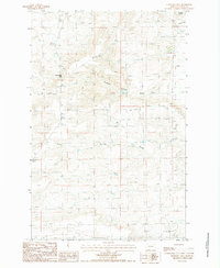
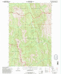
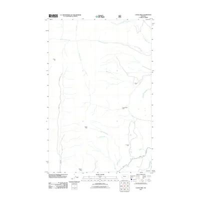
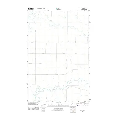
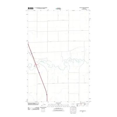
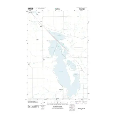
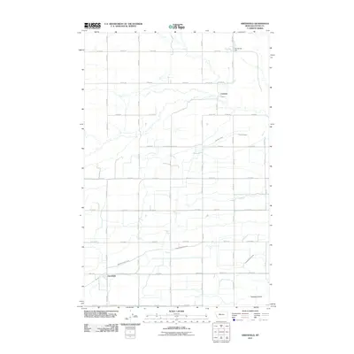
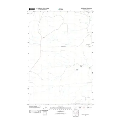
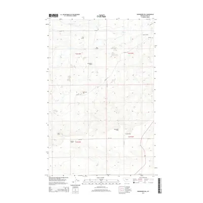
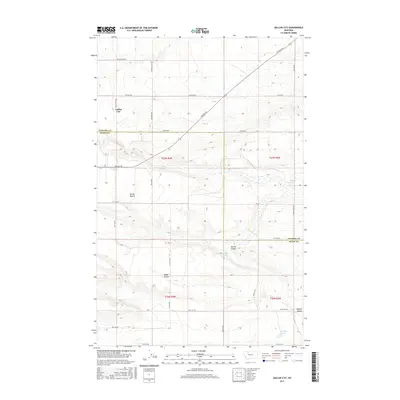
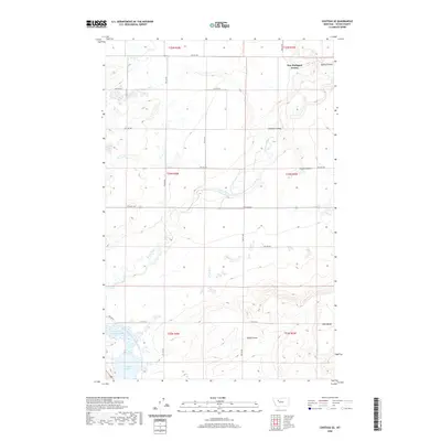
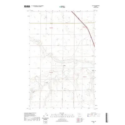
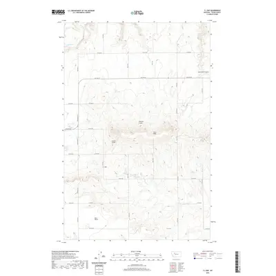
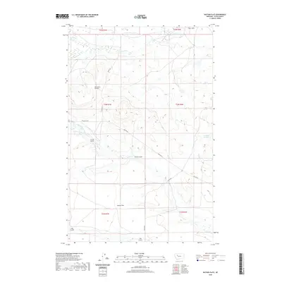
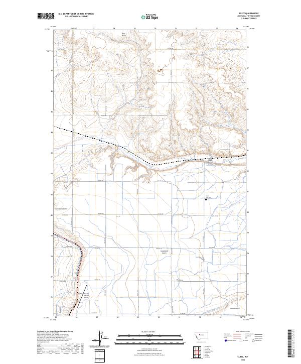
1983 Map of Cleiv
USGS Topo · Published 1983About this map
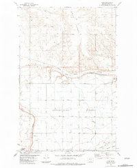
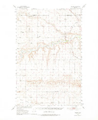
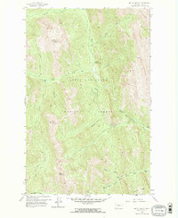
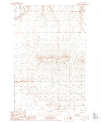
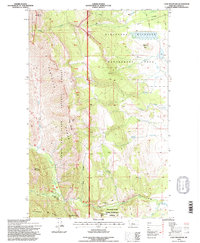
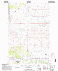
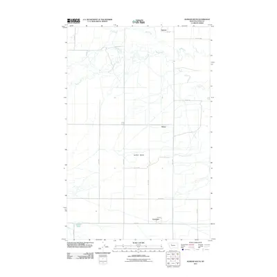
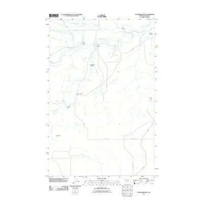
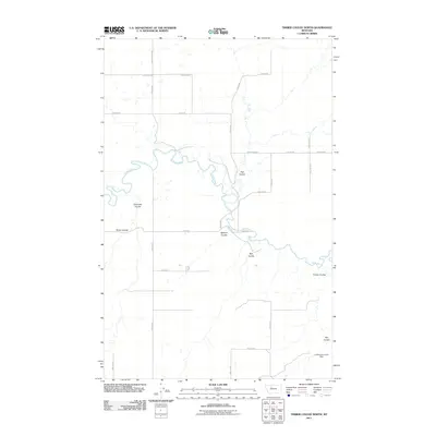
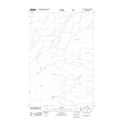
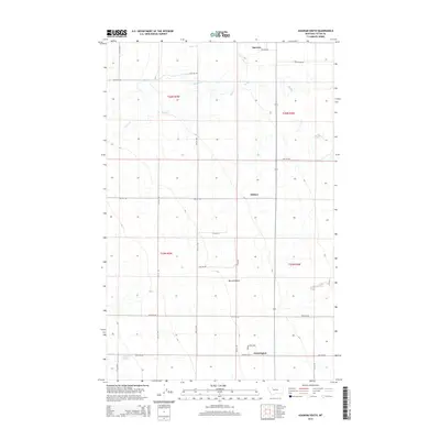
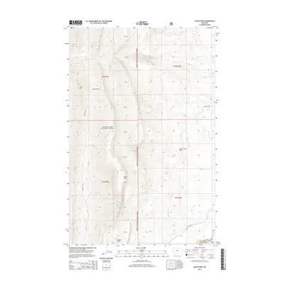
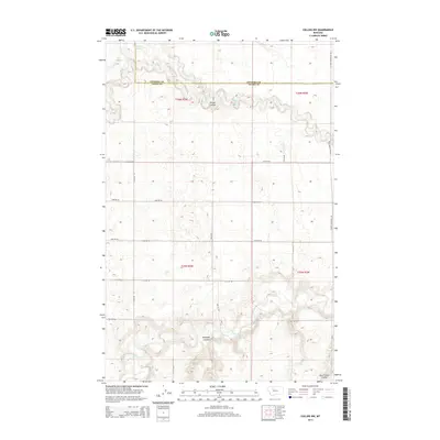
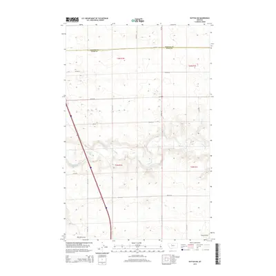
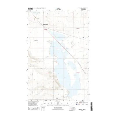
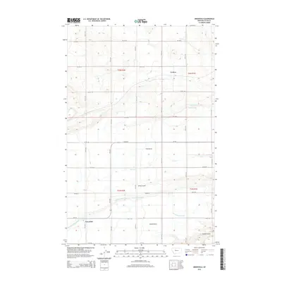
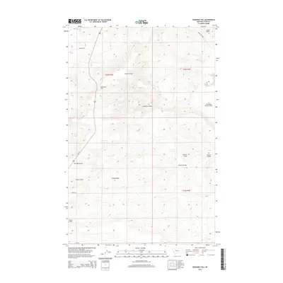
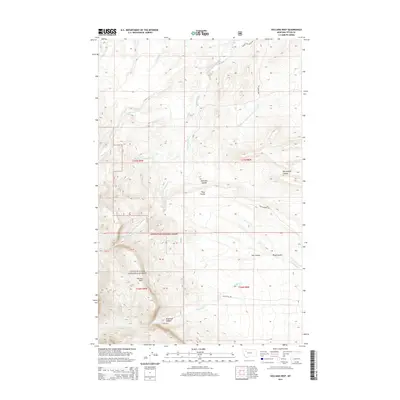
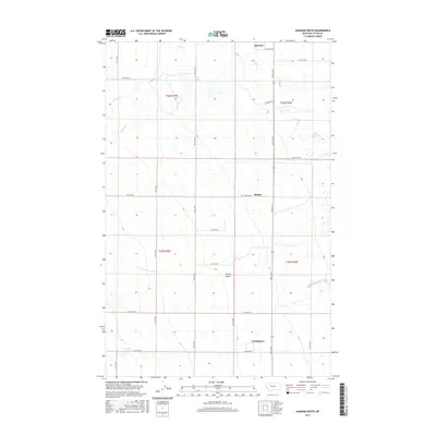
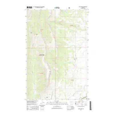
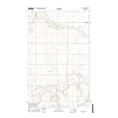
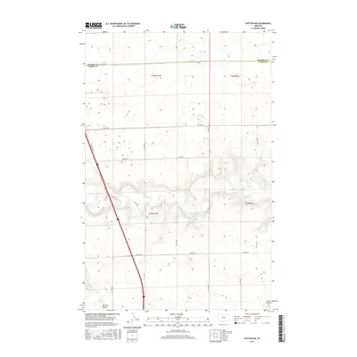
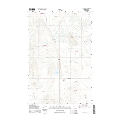
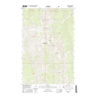
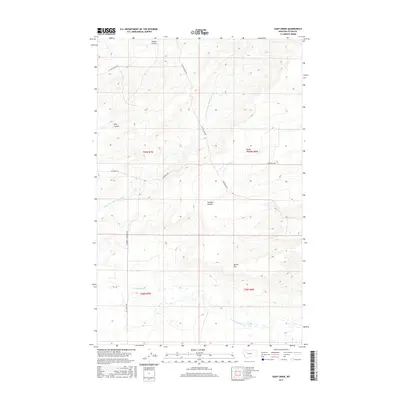
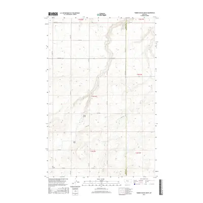
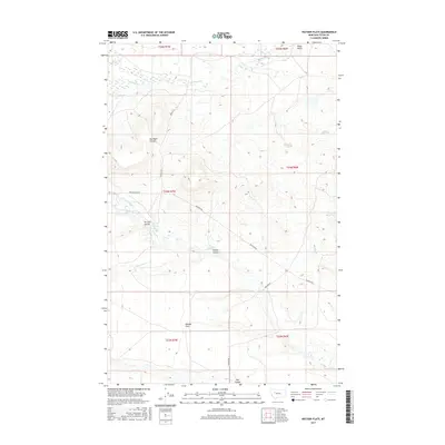
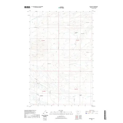
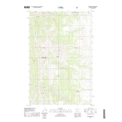
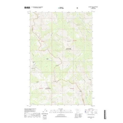
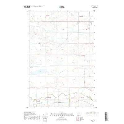
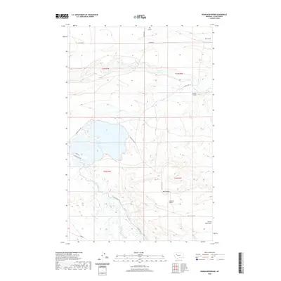
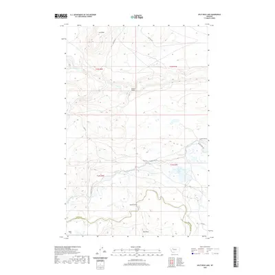
Bole Bench and Greenfields Bench define this Teton County landscape, where the high-plains topography transitions into a network of managed water and rail infrastructure. At the small settlement of Cleiv, the Burlington Northern railroad runs parallel to Muddy Creek, supported by a Grain Elevator and nearby Cleiv Spring that hint at the area's agricultural foundation. The lower portion of the map is dominated by the Greenfields Main Canal, a vital irrigation artery that transforms the benchland. Cultural landmarks like St Paul Ch and the Fairfield Airport are situated along a rigid grid of numbered rural roads, such as First Road North and Third Road North, illustrating the organized expansion of Montana's ranching and farming communities in the latter part of the 20th century.
Find a feature on this map
20 named features on this map. Tap any name to fly to it.
Don’t see what you’re looking for? This feature index may not catch every label — zoom into the map to look around manually.
Map Details
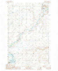
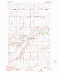
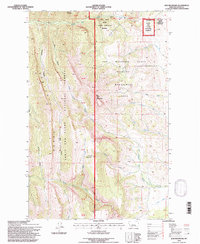
Editions of this 1983 Cleiv Map
This is the sole edition of this map. No revisions or reprints were ever made.
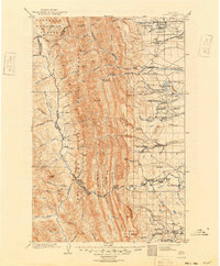
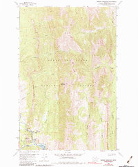
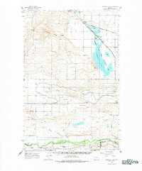
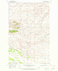
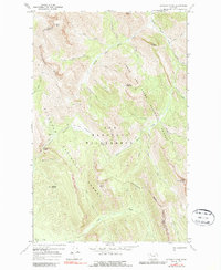
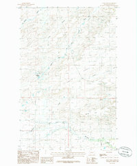
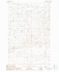
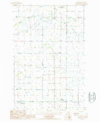
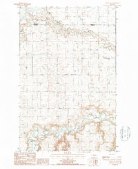
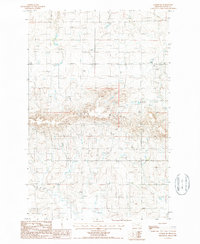
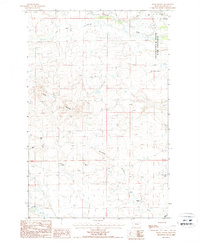
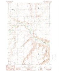
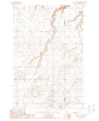
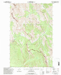
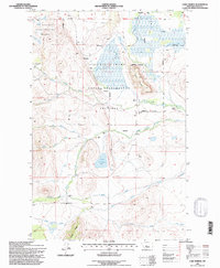
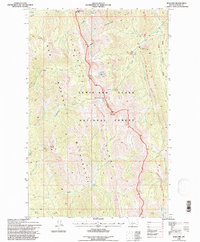
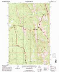
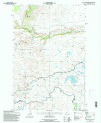
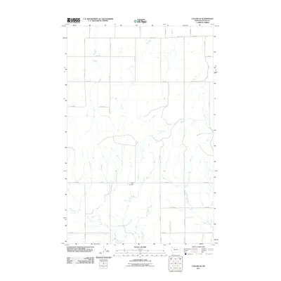
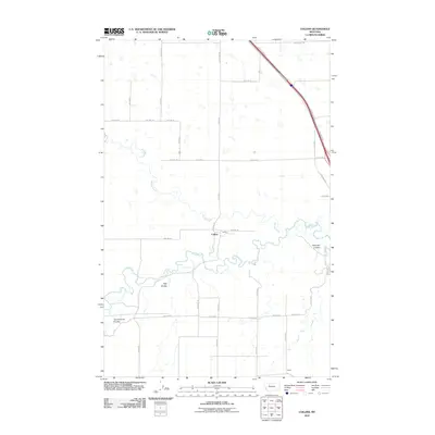
Historical Maps of Cleiv Through Time
257 maps found
1903 Saypo
Teton County, MT
1950 Collins
Teton County, MT
1958 Arsenic Mountain
Teton County, MT
1958 Castle Reef
Teton County, MT
1958 Cave Mountain
Teton County, MT
1958 Ear Mountain
Teton County, MT
1958 Lake Theboe
Teton County, MT
1958 Mount Wright
Teton County, MT
1958 Our Lake
Teton County, MT
1958 Porphyry Reef
Teton County, MT
1958 Split Rock Lake
Teton County, MT
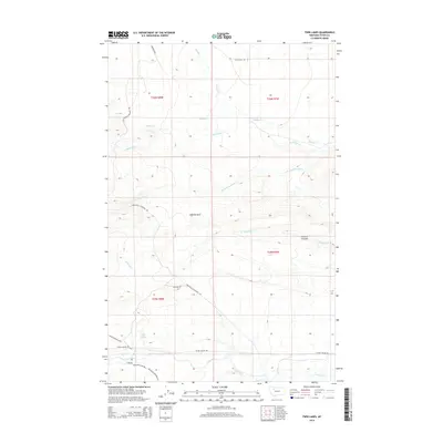
1958 Twin Lakes
Teton County, MT
1960 Freezeout Lake
Teton County, MT
1968 Blackleaf
Teton County, MT
1968 Gateway Pass
Teton County, MT
1968 Volcano Reef
Teton County, MT
1968 Walling Reef
Teton County, MT

1976 Great Falls North
Teton County, MT
1983 Cleiv
Teton County, MT
1983 Greenfield
Teton County, MT
1985 Agawam North
Teton County, MT
1985 Gallup City
Teton County, MT
1985 Soap Creek
Teton County, MT
1986 Nunemaker Hill
Teton County, MT
1987 Agawam South
Teton County, MT
1987 Bynum Reservoir
Teton County, MT
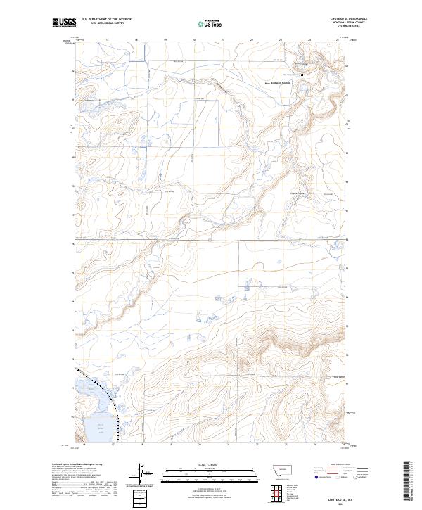
1987 Choteau SE
Teton County, MT
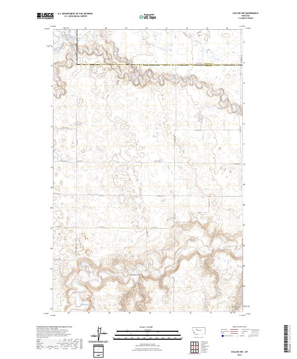
1987 Collins NW
Teton County, MT
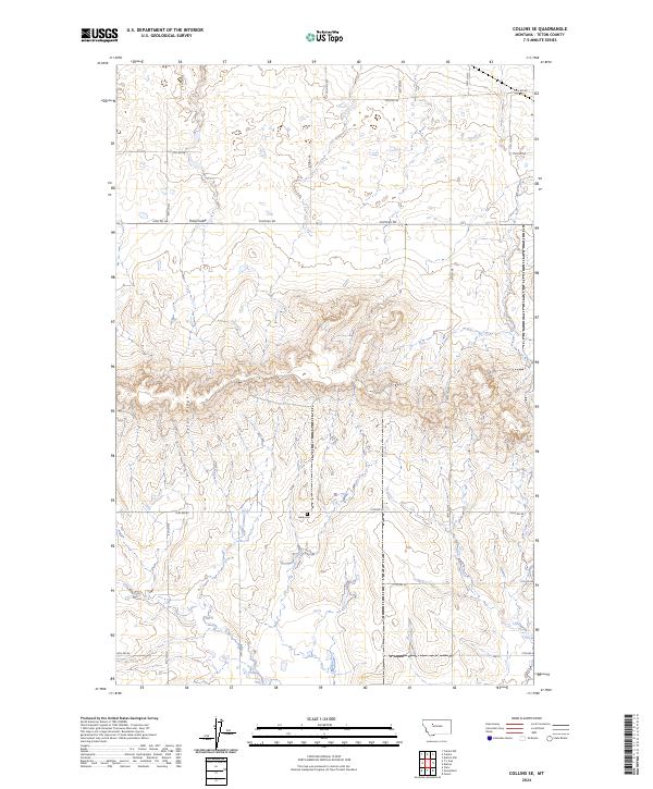
1987 Collins SE
Teton County, MT
1987 Collins
Teton County, MT
1987 Dutton NE
Teton County, MT

1987 Dutton NW
Teton County, MT
1987 Dutton SE
Teton County, MT
1987 Eyraud Lakes
Teton County, MT
1987 Freezeout Lake
Teton County, MT
1987 Golden Ridge
Teton County, MT
1987 Lowry
Teton County, MT
1987 Pishkun Reservoir
Teton County, MT
1987 Sevenmile Hill
Teton County, MT
1987 Teton Buttes
Teton County, MT
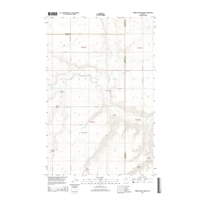
1987 Timber Coulee North
Teton County, MT
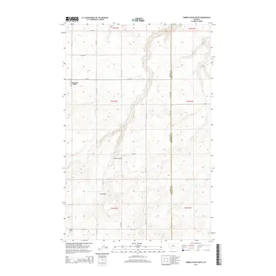
1987 Timber Coulee South
Teton County, MT
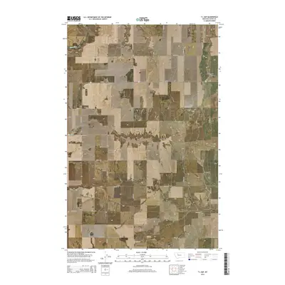
1987 T L Gap
Teton County, MT
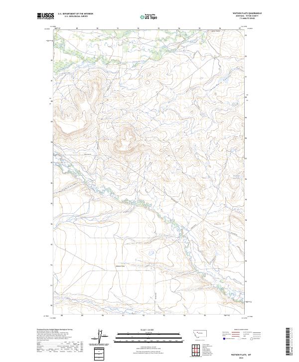
1987 Watson Flats
Teton County, MT
1995 Arsenic Mountain
Teton County, MT
1995 Castle Reef
Teton County, MT
1995 Cave Mountain
Teton County, MT
1995 Ear Mountain
Teton County, MT
1995 Gateway Pass
Teton County, MT
1995 Lake Theboe
Teton County, MT
1995 Mount Wright
Teton County, MT
1995 Our Lake
Teton County, MT
1995 Porphyry Reef
Teton County, MT
1995 Split Rock Lake
Teton County, MT
1995 Twin Lakes
Teton County, MT
1995 Volcano Reef
Teton County, MT
1995 Walling Reef
Teton County, MT
2011 Agawam North
Teton County, MT
2011 Agawam South
Teton County, MT
2011 Arsenic Mountain
Teton County, MT
2011 Blackleaf
Teton County, MT
2011 Bynum Reservoir
Teton County, MT
2011 Castle Reef
Teton County, MT
2011 Cave Mountain
Teton County, MT
2011 Choteau SE
Teton County, MT
2011 Cleiv
Teton County, MT
2011 Collins NW
Teton County, MT
2011 Collins SE
Teton County, MT
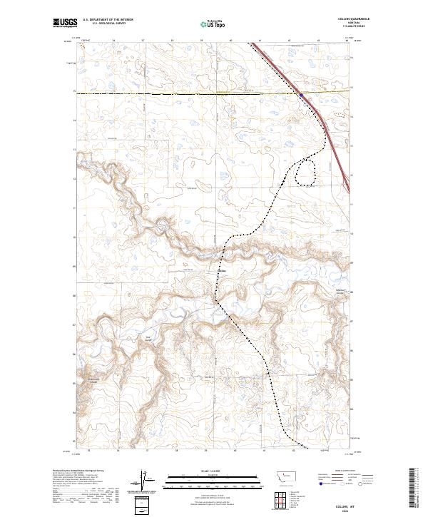
2011 Collins
Teton County, MT
2011 Dutton NE
Teton County, MT
2011 Dutton NW
Teton County, MT
2011 Dutton SE
Teton County, MT
2011 Ear Mountain
Teton County, MT
2011 Eyraud Lakes
Teton County, MT
2011 Freezeout Lake
Teton County, MT
2011 Gallup City
Teton County, MT
2011 Gateway Pass
Teton County, MT
2011 Golden Ridge
Teton County, MT
2011 Greenfield
Teton County, MT
2011 Lake Theboe
Teton County, MT
2011 Lowry
Teton County, MT
2011 Mount Wright
Teton County, MT
2011 Nunemaker Hill
Teton County, MT
2011 Our Lake
Teton County, MT
2011 Pishkun Reservoir
Teton County, MT
2011 Porphyry Reef
Teton County, MT
2011 Sevenmile Hill
Teton County, MT
2011 Soap Creek
Teton County, MT
2011 Split Rock Lake
Teton County, MT
2011 Teton Buttes
Teton County, MT
2011 Timber Coulee North
Teton County, MT
2011 Timber Coulee South
Teton County, MT
2011 T L Gap
Teton County, MT
2011 Twin Lakes
Teton County, MT
2011 Volcano Reef
Teton County, MT
2011 Walling Reef
Teton County, MT
2011 Watson Flats
Teton County, MT
2014 Agawam North
Teton County, MT
2014 Agawam South
Teton County, MT
2014 Arsenic Mountain
Teton County, MT
2014 Blackleaf
Teton County, MT
2014 Bynum Reservoir
Teton County, MT
2014 Castle Reef
Teton County, MT
2014 Cave Mountain
Teton County, MT
2014 Choteau SE
Teton County, MT
2014 Cleiv
Teton County, MT
2014 Collins NW
Teton County, MT
2014 Collins SE
Teton County, MT
2014 Collins
Teton County, MT
2014 Dutton NE
Teton County, MT
2014 Dutton NW
Teton County, MT
2014 Dutton SE
Teton County, MT
2014 Ear Mountain
Teton County, MT
2014 Eyraud Lakes
Teton County, MT
2014 Freezeout Lake
Teton County, MT
2014 Gallup City
Teton County, MT
2014 Gateway Pass
Teton County, MT
2014 Golden Ridge
Teton County, MT
2014 Greenfield
Teton County, MT
2014 Lake Theboe
Teton County, MT
2014 Lowry
Teton County, MT
2014 Mount Wright
Teton County, MT
2014 Nunemaker Hill
Teton County, MT
2014 Our Lake
Teton County, MT
2014 Pishkun Reservoir
Teton County, MT
2014 Porphyry Reef
Teton County, MT
2014 Sevenmile Hill
Teton County, MT
2014 Soap Creek
Teton County, MT
2014 Split Rock Lake
Teton County, MT
2014 Teton Buttes
Teton County, MT
2014 Timber Coulee North
Teton County, MT
2014 Timber Coulee South
Teton County, MT
2014 T L Gap
Teton County, MT
2014 Twin Lakes
Teton County, MT
2014 Volcano Reef
Teton County, MT
2014 Walling Reef
Teton County, MT
2014 Watson Flats
Teton County, MT
2017 Agawam North
Teton County, MT
2017 Agawam South
Teton County, MT
2017 Arsenic Mountain
Teton County, MT
2017 Blackleaf
Teton County, MT
2017 Bynum Reservoir
Teton County, MT
2017 Castle Reef
Teton County, MT
2017 Cave Mountain
Teton County, MT
2017 Choteau SE
Teton County, MT
2017 Cleiv
Teton County, MT
2017 Collins NW
Teton County, MT
2017 Collins SE
Teton County, MT
2017 Collins
Teton County, MT
2017 Dutton NE
Teton County, MT
2017 Dutton NW
Teton County, MT
2017 Dutton SE
Teton County, MT

2017 Ear Mountain
Teton County, MT
2017 Eyraud Lakes
Teton County, MT
2017 Freezeout Lake
Teton County, MT
2017 Gallup City
Teton County, MT
2017 Gateway Pass
Teton County, MT
2017 Golden Ridge
Teton County, MT
2017 Greenfield
Teton County, MT
2017 Lake Theboe
Teton County, MT
2017 Lowry
Teton County, MT
2017 Mount Wright
Teton County, MT
2017 Nunemaker Hill
Teton County, MT
2017 Our Lake
Teton County, MT
2017 Pishkun Reservoir
Teton County, MT
2017 Porphyry Reef
Teton County, MT
2017 Sevenmile Hill
Teton County, MT
2017 Soap Creek
Teton County, MT
2017 Split Rock Lake
Teton County, MT
2017 Teton Buttes
Teton County, MT
2017 Timber Coulee North
Teton County, MT
2017 Timber Coulee South
Teton County, MT
2017 T L Gap
Teton County, MT
2017 Twin Lakes
Teton County, MT

2017 Volcano Reef
Teton County, MT
2017 Walling Reef
Teton County, MT
2017 Watson Flats
Teton County, MT
2020 Agawam North
Teton County, MT
2020 Agawam South
Teton County, MT
2020 Arsenic Mountain
Teton County, MT
2020 Blackleaf
Teton County, MT
2020 Bynum Reservoir
Teton County, MT
2020 Castle Reef
Teton County, MT
2020 Cave Mountain
Teton County, MT
2020 Choteau SE
Teton County, MT
2020 Cleiv
Teton County, MT
2020 Collins NW
Teton County, MT
2020 Collins SE
Teton County, MT
2020 Collins
Teton County, MT
2020 Dutton NE
Teton County, MT
2020 Dutton NW
Teton County, MT
2020 Dutton SE
Teton County, MT
2020 Ear Mountain
Teton County, MT
2020 Eyraud Lakes
Teton County, MT
2020 Freezeout Lake
Teton County, MT
2020 Gallup City
Teton County, MT
2020 Gateway Pass
Teton County, MT
2020 Golden Ridge
Teton County, MT
2020 Greenfield
Teton County, MT
2020 Lake Theboe
Teton County, MT
2020 Lowry
Teton County, MT
2020 Mount Wright
Teton County, MT
2020 Nunemaker Hill
Teton County, MT
2020 Our Lake
Teton County, MT
2020 Pishkun Reservoir
Teton County, MT
2020 Porphyry Reef
Teton County, MT
2020 Sevenmile Hill
Teton County, MT
2020 Soap Creek
Teton County, MT
2020 Split Rock Lake
Teton County, MT
2020 Teton Buttes
Teton County, MT
2020 Timber Coulee North
Teton County, MT
2020 Timber Coulee South
Teton County, MT
2020 T L Gap
Teton County, MT
2020 Twin Lakes
Teton County, MT
2020 Volcano Reef
Teton County, MT
2020 Walling Reef
Teton County, MT
2020 Watson Flats
Teton County, MT
2024 Agawam North
Teton County, MT
2024 Agawam South
Teton County, MT
2024 Arsenic Mountain
Teton County, MT
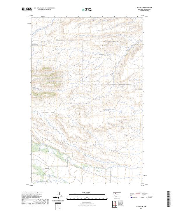
2024 Blackleaf
Teton County, MT
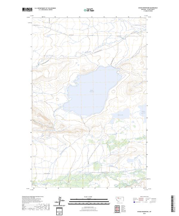
2024 Bynum Reservoir
Teton County, MT
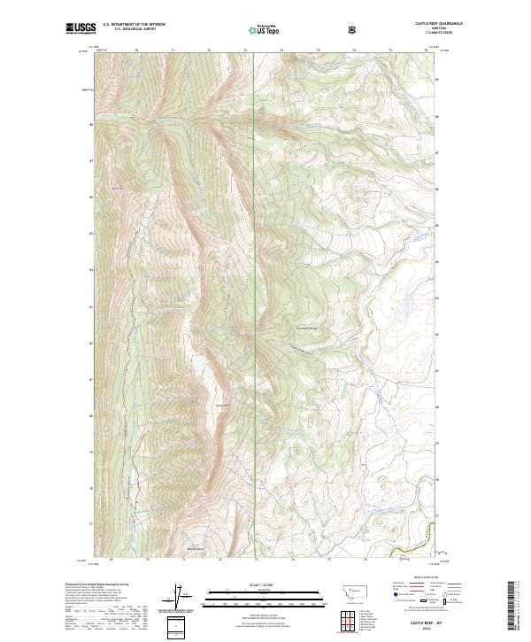
2024 Castle Reef
Teton County, MT
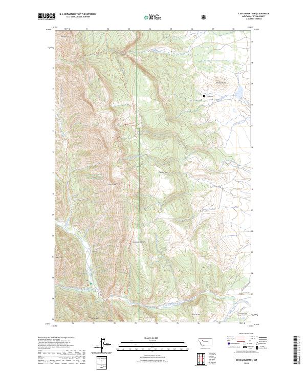
2024 Cave Mountain
Teton County, MT
2024 Choteau SE
Teton County, MT
2024 Cleiv
Teton County, MT
2024 Collins NW
Teton County, MT
2024 Collins SE
Teton County, MT
2024 Collins
Teton County, MT
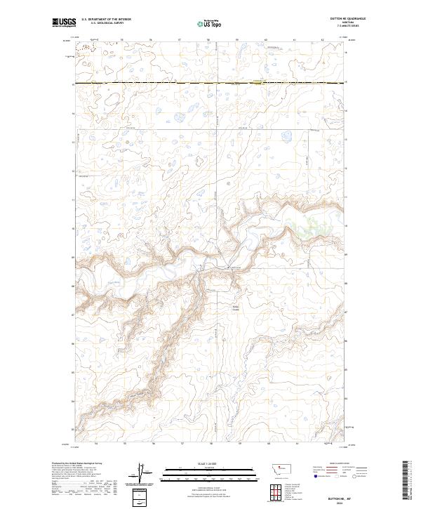
2024 Dutton NE
Teton County, MT
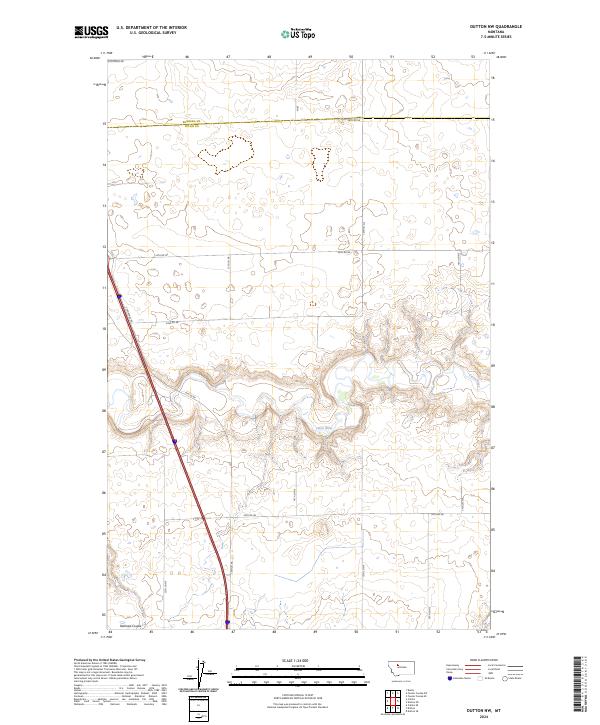
2024 Dutton NW
Teton County, MT
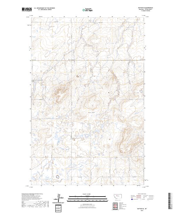
2024 Dutton SE
Teton County, MT
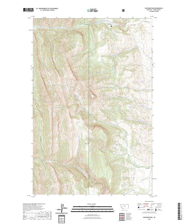
2024 Ear Mountain
Teton County, MT
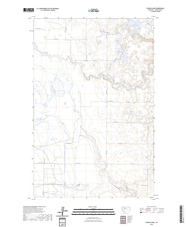
2024 Eyraud Lakes
Teton County, MT
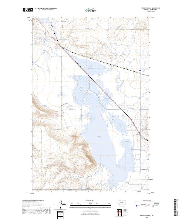
2024 Freezeout Lake
Teton County, MT
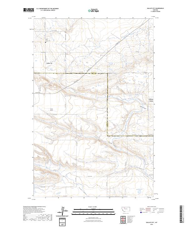
2024 Gallup City
Teton County, MT
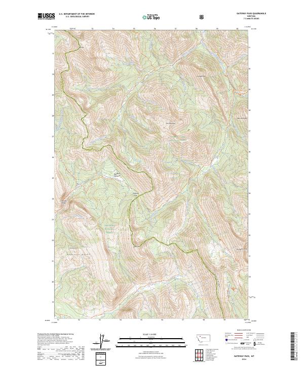
2024 Gateway Pass
Teton County, MT
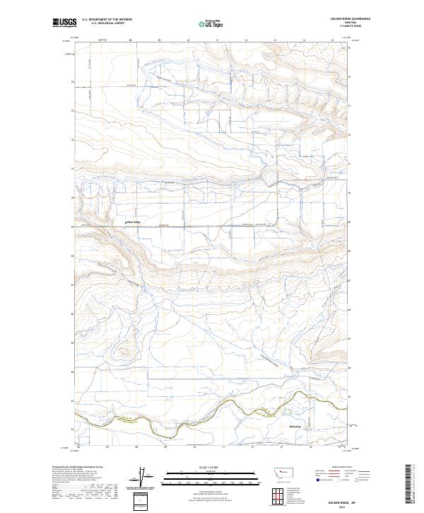
2024 Golden Ridge
Teton County, MT
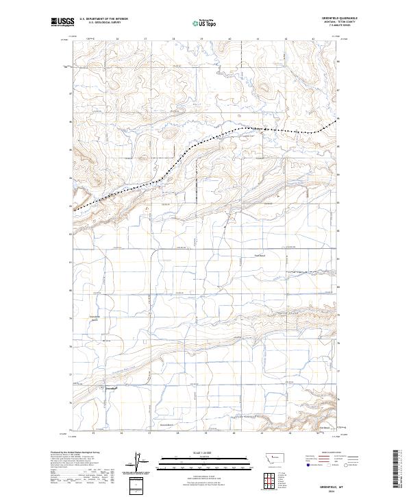
2024 Greenfield
Teton County, MT
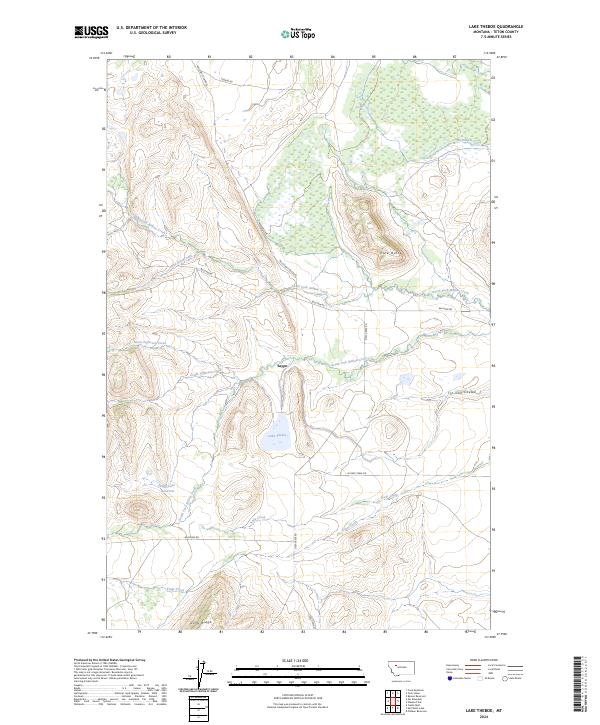
2024 Lake Theboe
Teton County, MT
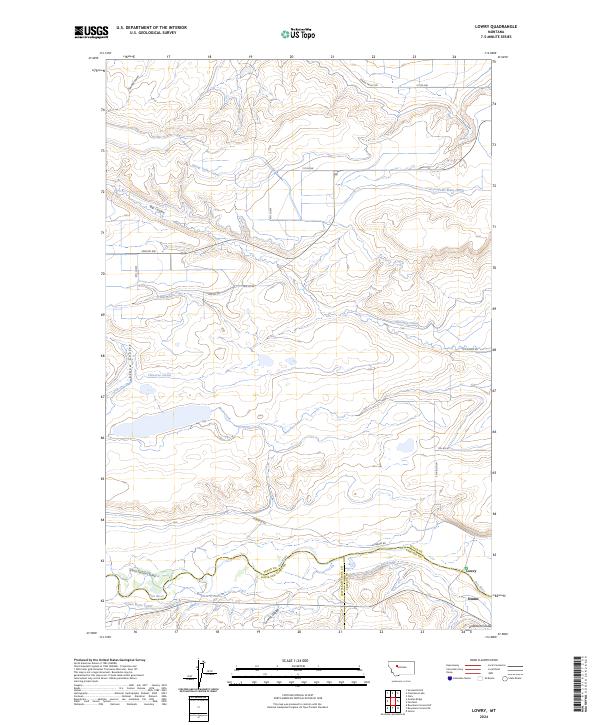
2024 Lowry
Teton County, MT
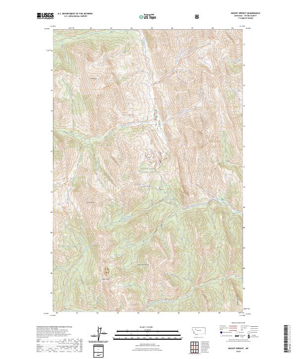
2024 Mount Wright
Teton County, MT
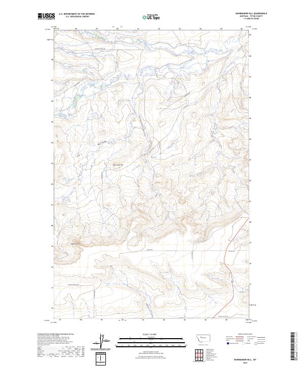
2024 Nunemaker Hill
Teton County, MT
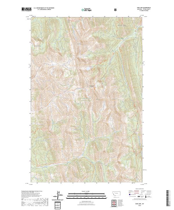
2024 Our Lake
Teton County, MT
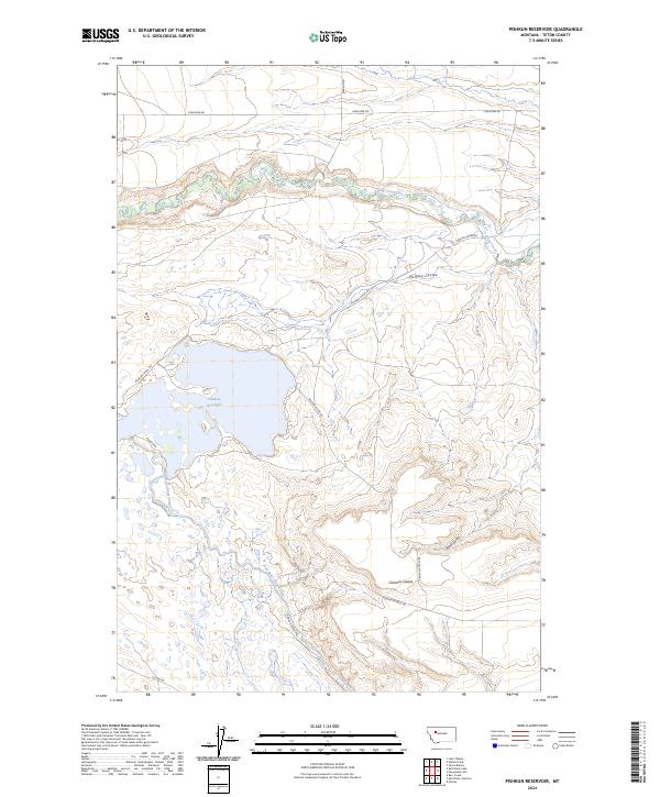
2024 Pishkun Reservoir
Teton County, MT
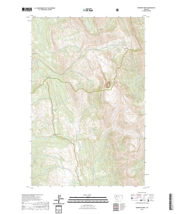
2024 Porphyry Reef
Teton County, MT
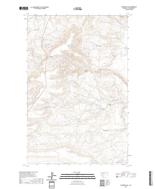
2024 Sevenmile Hill
Teton County, MT
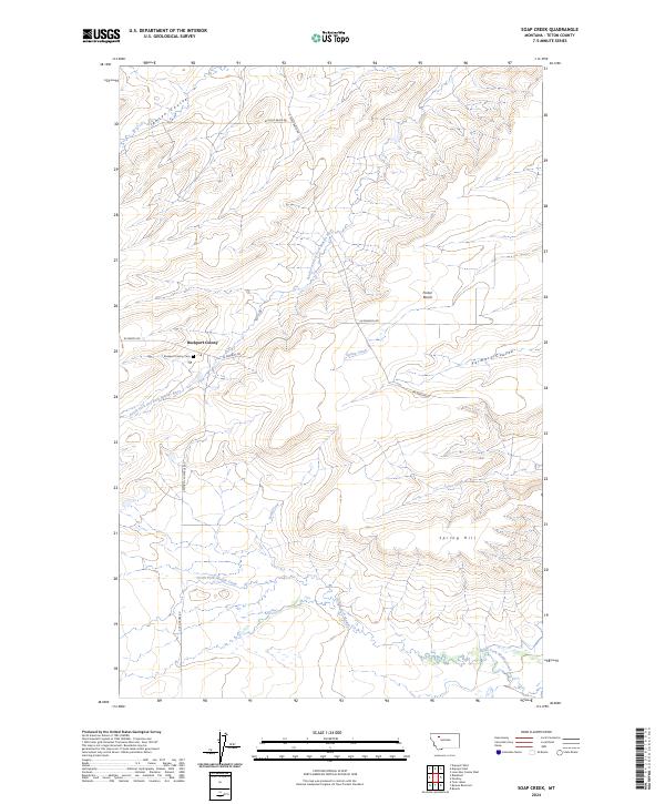
2024 Soap Creek
Teton County, MT
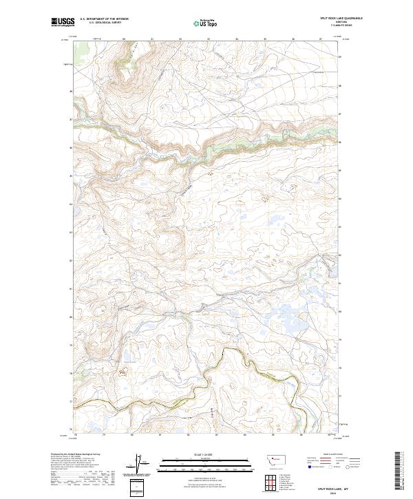
2024 Split Rock Lake
Teton County, MT
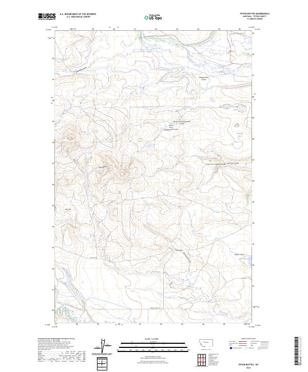
2024 Teton Buttes
Teton County, MT
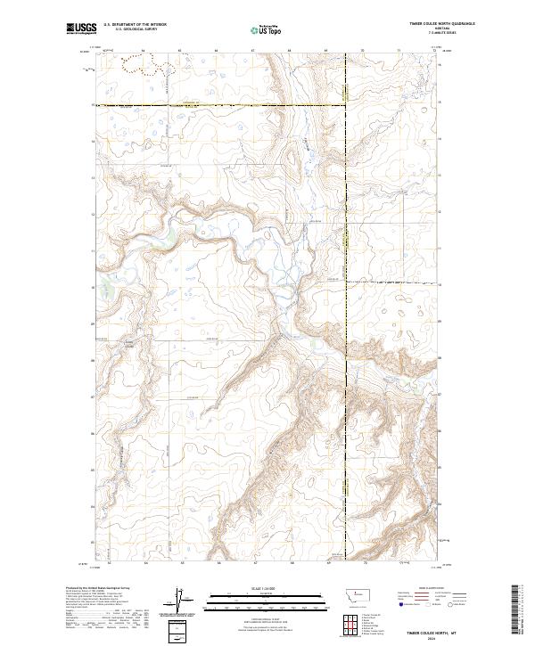
2024 Timber Coulee North
Teton County, MT
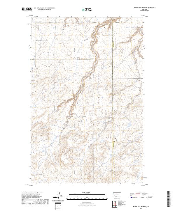
2024 Timber Coulee South
Teton County, MT
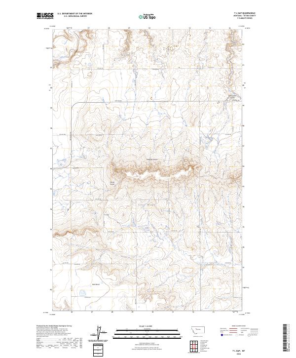
2024 T L Gap
Teton County, MT
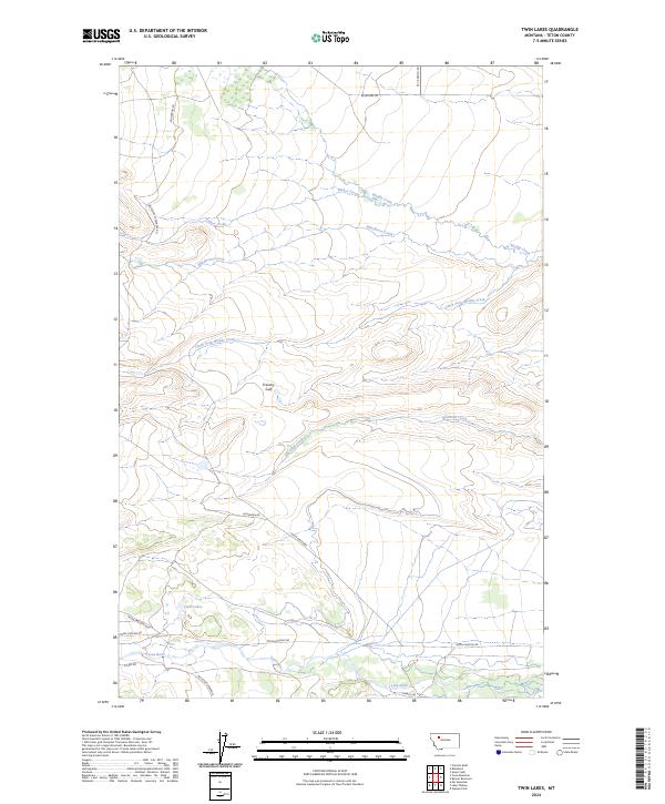
2024 Twin Lakes
Teton County, MT
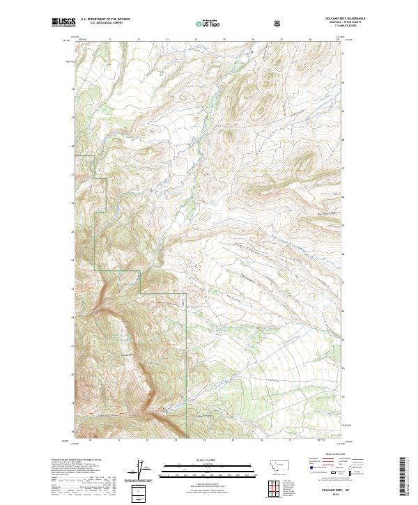
2024 Volcano Reef
Teton County, MT
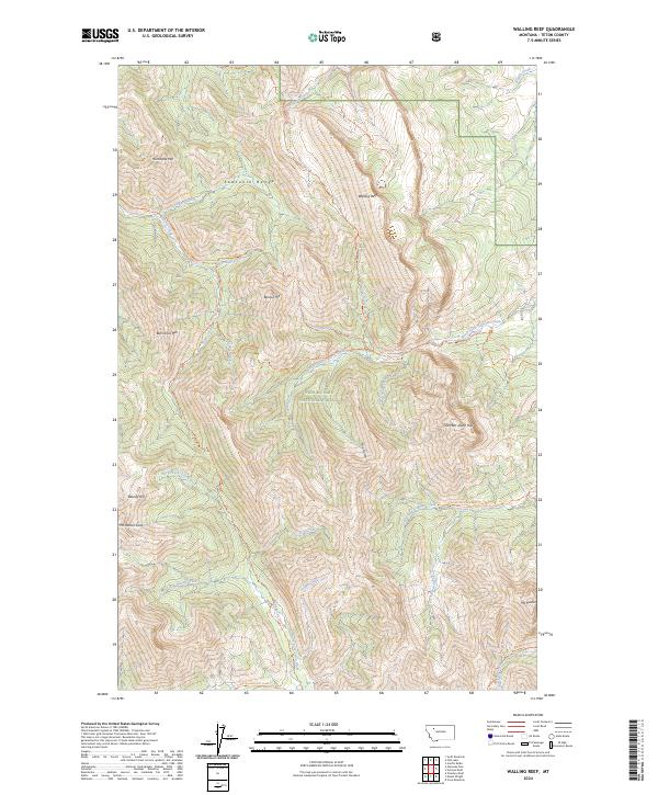
2024 Walling Reef
Teton County, MT
2024 Watson Flats
Teton County, MT