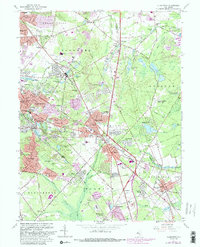
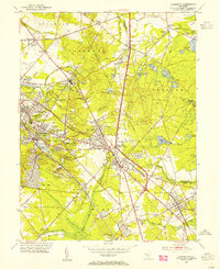
1953 Map of Clementon
USGS Topo · Published 1965About this map
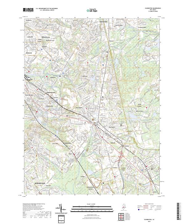
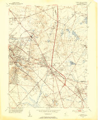
The Pennsylvania-Reading Seashore Lines define the transportation corridor of this South Jersey landscape, connecting a string of small borough centers and rural outposts. At the heart of the map, the White Horse Pike runs parallel to the rail line, anchoring the commercial development of Berlin, West Berlin, and Clementon. This mid-century survey reveals a transition from agricultural use to suburban density, though many areas remain defined by water and wetlands. To the west, the Pine Hill Boy Scout Camp and the steep elevation change near Pine Hill stand in contrast to the numerous small lakes, such as Silver Lake, Watson Lake, and Lake Worth, that dot the residential clusters. The map also documents localized infrastructure, including the Echelon Airport and Clementon Airport, reflecting the aviation interests of the era before later large-scale development reshaped the region's topography.
Find a feature on this map
77 named features on this map. Tap any name to fly to it.
Don’t see what you’re looking for? This feature index may not catch every label — zoom into the map to look around manually.
Map Details
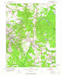
Editions of this 1953 Clementon Map
3 editions found
Historical Maps of Cherry Hill Township Through Time
7 maps found