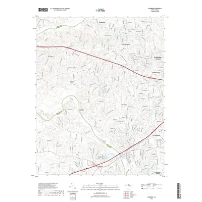
2019 Map of Clemmons
USGS Topo · Published 2019About this map
Clemmons and Lewisville anchor this 2019 survey, illustrating the modern residential and commercial landscape where Forsyth meets Davie and Yadkin counties. The winding Yadkin River defines the western and southern boundaries, carving through the Yadkin Valley while numerous small creeks like Panther Cr and Hauser Cr feed into its course. The transition from the urban edge of Winston-Salem to the quieter outskirts of Hillsdale and Bermuda Run is marked by a high density of named water bodies and private landing strips.
Find a feature on this map
265 named features on this map. Tap any name to fly to it.
Don’t see what you’re looking for? This feature index may not catch every label — zoom into the map to look around manually.
Map Details
Editions of this 2019 Clemmons Map
This is the sole edition of this map. No revisions or reprints were ever made.
Other maps of this area

1891 · Yadkinville
USGS Topo · 1:125,000

1893 · Statesville
USGS Topo · 1:125,000

1893 · Yadkinville
USGS Topo · 1:125,000

1950 · Winston-Salem West
USGS Topo · 1:24,000

1951 · Winston-Salem West
USGS Topo · 1:24,000

1951 · Rural Hall
USGS Topo · 1:24,000

1953 · Charlotte
USGS Topo · 1:250,000

1953 · Winston-Salem
USGS Topo · 1:250,000

1954 · Charlotte
USGS Topo · 1:250,000

1955 · Winston-Salem
USGS Topo · 1:250,000