2022 Map of Clemmons
USGS Topo · Published 2022About this map
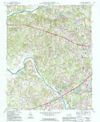
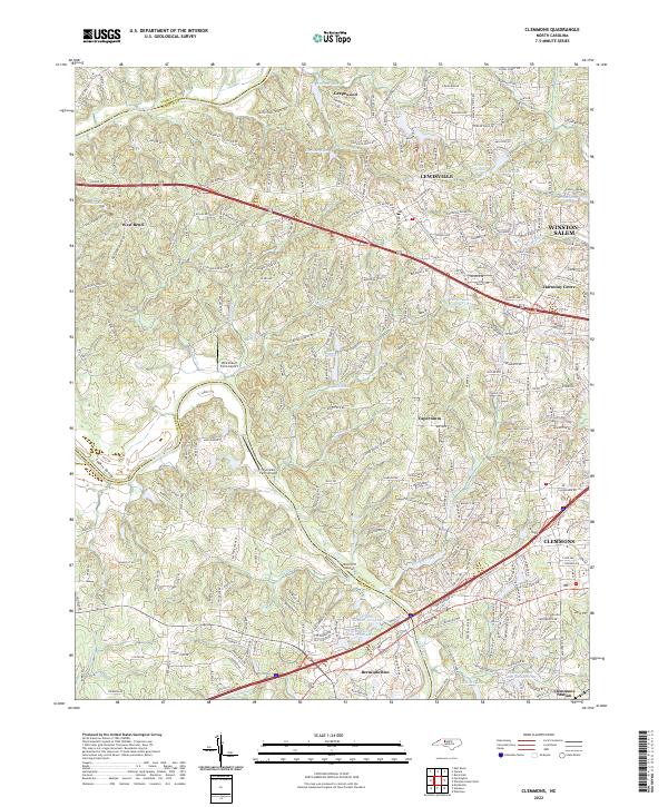
The Yadkin River defines the western edge of this territory, carving the Yadkin Valley as it separates Forsyth and Yadkin counties. This modern survey illustrates the suburban expansion of Winston-Salem and the growth of Clemmons, showing a transition from rural agricultural land to residential developments. The area's legacy is visible in the numerous small lakes and mill ponds, such as Griffith Mill Pond and Durham Lake, which were historically vital for local water management and early industry.
Find a feature on this map
279 named features on this map. Tap any name to fly to it.
Don’t see what you’re looking for? This feature index may not catch every label — zoom into the map to look around manually.
Map Details
Editions of this 2022 Clemmons Map
This is the sole edition of this map. No revisions or reprints were ever made.
Historical Maps of Davie Gardens Through Time
3 maps found