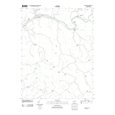
2023 Map of Clendenin
USGS Topo · Published 2023About this map
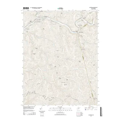
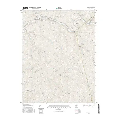
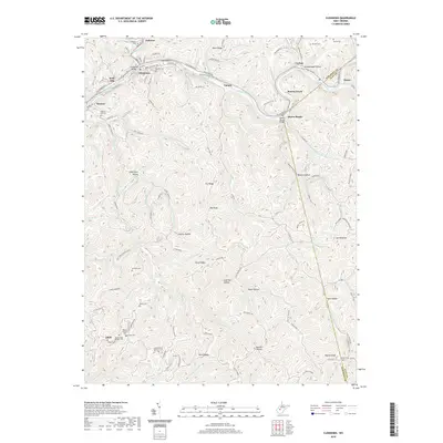
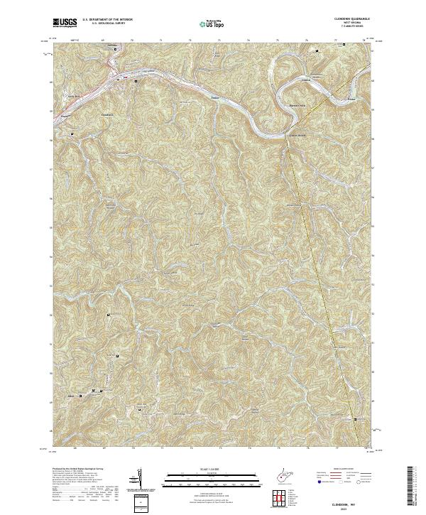
The Elk River carves a deep valley through this portion of Kanawha County, where the town of Clendenin serves as a central hub for the surrounding hollows. In this 2023 survey, the landscape reveals a dense network of family and community landmarks, including numerous burial grounds like Reamer Hill Cem and Osborne Cem. The terrain is defined by steep ridges such as Dutch Ridge and Duval Ridge, which separate the various tributaries like Falling Rock Creek and Leatherwood Creek from the main river valley. Modern recreational developments are evident in the Clendenin Walking Trail, which follows the river's path through town. Local religious life is anchored by small rural congregations at Mount Haid Church and the Dutch Ridge Chapel, while older industrial footprints linger in place names like Mill Hollow. The boundary with Clay County is clearly delineated as it cuts across Queen Shoals and the slopes of Beulah Knob.
Find a feature on this map
112 named features on this map. Tap any name to fly to it.
Don’t see what you’re looking for? This feature index may not catch every label — zoom into the map to look around manually.
Map Details
Editions of this 2023 Clendenin Map
This is the sole edition of this map. No revisions or reprints were ever made.
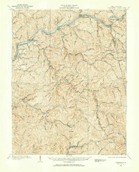
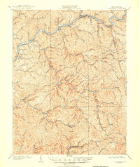
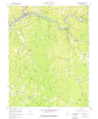
Historical Maps of Clendenin Through Time
8 maps found