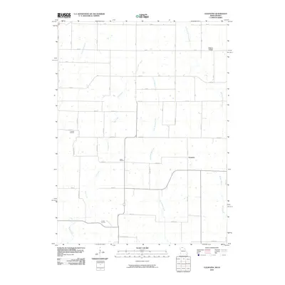
2010 Map of Cleopatra
USGS Topo · Published 2010About this map
Clinton Center and the small settlement of Cleopatra anchor this 2010 topographic study of the Missouri-Iowa border region. The landscape is defined by a dense network of watercourses, including the West Fork Medicine Creek, Little Medicine Creek, and Irwin Creek, which carve through the rural terrain. This geography suggests a long history of agricultural dependency on these drainages, with the road system following a rigid grid that occasionally yields to the winding paths of the creeks. Genealogists and local historians will find several burial sites preserved on the landscape, specifically the Laughlin Cemetery in the northwest, Wilder Cemetery near the center, and Lowery Cemetery to the south. The map illustrates a quiet, rural interior where small communities and family landmarks persist along gravel routes like Bison St and Buck Ave.
Find a feature on this map
46 named features on this map. Tap any name to fly to it.
Don’t see what you’re looking for? This feature index may not catch every label — zoom into the map to look around manually.
Map Details
Editions of this 2010 Cleopatra Map
This is the sole edition of this map. No revisions or reprints were ever made.
Other maps of this area

1946 · Princeton
USGS Topo · 1:62,500

1948 · Princeton
USGS Topo · 1:62,500

1954 · Centerville
USGS Topo · 1:250,000

1957 · Centerville
USGS Topo · 1:250,000

1958 · Centerville
USGS Topo · 1:250,000

1964 · Ravanna
USGS Topo · 1:24,000

1964 · Woodland
USGS Topo · 1:24,000

1964 · Lucerne
USGS Topo · 1:24,000

1964 · Allerton
USGS Topo · 1:24,000

1964 · Cleopatra
USGS Topo · 1:24,000