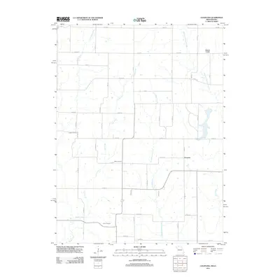
2012 Map of Cleopatra
USGS Topo · Published 2012About this map
The borderlands of southern Iowa and northern Missouri are defined by a network of north-south flowing streams in this 2012 survey. Clinton Center sits in the northeastern corner of the map, while the settlement of Cleopatra is positioned further south, serving as a landmark along the sectioned grid of rural roads. The landscape is primarily shaped by the drainage basins of Little Medicine Creek and the West Fork Medicine Creek, which carve through the terrain alongside Muddy Creek and Little Muddy Creek.
Find a feature on this map
27 named features on this map. Tap any name to fly to it.
Don’t see what you’re looking for? This feature index may not catch every label — zoom into the map to look around manually.
Map Details
Editions of this 2012 Cleopatra Map
This is the sole edition of this map. No revisions or reprints were ever made.
Other maps of this area

1946 · Princeton
USGS Topo · 1:62,500

1948 · Princeton
USGS Topo · 1:62,500

1954 · Centerville
USGS Topo · 1:250,000

1957 · Centerville
USGS Topo · 1:250,000

1958 · Centerville
USGS Topo · 1:250,000

1964 · Ravanna
USGS Topo · 1:24,000

1964 · Woodland
USGS Topo · 1:24,000

1964 · Lucerne
USGS Topo · 1:24,000

1964 · Allerton
USGS Topo · 1:24,000

1964 · Cleopatra
USGS Topo · 1:24,000