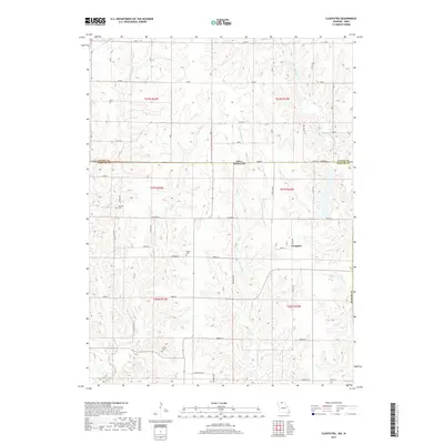
2017 Map of Cleopatra
USGS Topo · Published 2017About this map
Cleopatra sits near the heart of this landscape, positioned just south of the Iowa Missouri state line where Wayne and Mercer counties meet. The area is defined by a dense network of watercourses, including the meandering Little Medicine Cr and Irwin Cr, which shape the local topography. This 2017 survey reveals a rural structure where section lines are traced by a grid of local roads such as Bison St and Avalon St, connecting isolated farmsteads and agricultural plots. For genealogists and local historians, several small burial sites are preserved here, including Laughlin Cem, Wilder Cem, and Lowery Cem. These features, along with the distinct drainage patterns of W Fork Medicine Cr and Barber Cr, provide a clear picture of the enduring rural boundaries that define the borderlands between Iowa and Missouri.
Find a feature on this map
32 named features on this map. Tap any name to fly to it.
Don’t see what you’re looking for? This feature index may not catch every label — zoom into the map to look around manually.
Map Details
Editions of this 2017 Cleopatra Map
This is the sole edition of this map. No revisions or reprints were ever made.
Other maps of this area

1946 · Princeton
USGS Topo · 1:62,500

1948 · Princeton
USGS Topo · 1:62,500

1954 · Centerville
USGS Topo · 1:250,000

1957 · Centerville
USGS Topo · 1:250,000

1958 · Centerville
USGS Topo · 1:250,000

1964 · Ravanna
USGS Topo · 1:24,000

1964 · Woodland
USGS Topo · 1:24,000

1964 · Lucerne
USGS Topo · 1:24,000

1964 · Allerton
USGS Topo · 1:24,000

1964 · Cleopatra
USGS Topo · 1:24,000