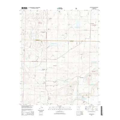
2014 Map of Cleveland
USGS Topo · Published 2014About this map
Cleveland and Lost Corner anchor this landscape along the border of Van Buren and Conway Counties, where the high ridges of the Ozark National Forest meet a complex network of managed waterways. The terrain is defined by prominent peaks like Egger Mtn, Cedar Mtn, and Phillips Mtn, with the narrow passage of The Narrows cutting through the southern hills. A dense concentration of small family and community burial sites, including Liberty Springs Cem, Upchurch Cem, and Mt Vernon Cem, suggests a long-settled rural population that remained tied to these ridges well into the modern era.
Find a feature on this map
92 named features on this map. Tap any name to fly to it.
Don’t see what you’re looking for? This feature index may not catch every label — zoom into the map to look around manually.
Map Details
Editions of this 2014 Cleveland Map
This is the sole edition of this map. No revisions or reprints were ever made.
Other maps of this area

1879 · Washington
USGS Topo · 1:62,500

1887 · Smyrna
USGS Topo · 1:62,500

1889 · Marshall #3
USGS Topo · 1:62,500

1892 · Marshall
USGS Topo · 1:125,000

1892 · Morrillton
USGS Topo · 1:125,000

1894 · Morrillton
USGS Topo · 1:125,000

1894 · Marshall
USGS Topo · 1:125,000

1901 · Marshall
USGS Topo · 1:125,000

1940 · Smyrna
USGS Topo · 1:62,500
1943 · Smyrna
USGS Topo · 1:62,500