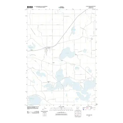
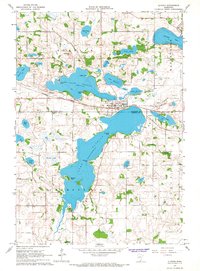
2010 Map of Cleveland
USGS Topo · Published 2010About this map
Cleveland sits at the heart of this Le Sueur County landscape, anchored by the Cleveland Post Office and surrounded by a dense network of local cemeteries that speak to the area's generational roots. The terrain is defined by a series of significant water bodies, including Scotch Lake, Lake Henry, and the northern reaches of Lake Washington. The land use is heavily influenced by a sophisticated drainage system, with numerous channels such as County Ditch Number Sixty and County Ditch Number Thirtynine cutting through the countryside to manage the low-lying glacial lake basins.
Find a feature on this map
57 named features on this map. Tap any name to fly to it.
Don’t see what you’re looking for? This feature index may not catch every label — zoom into the map to look around manually.
Map Details
Editions of this 2010 Cleveland Map
This is the sole edition of this map. No revisions or reprints were ever made.
Other maps of this area
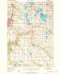
1950 · Mankato East
USGS Topo · 1:62,500
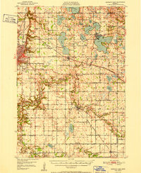
1951 · Mankato East
USGS Topo · 1:62,500

1953 · Saint Paul
USGS Topo · 1:250,000

1959 · Saint Paul
USGS Topo · 1:250,000
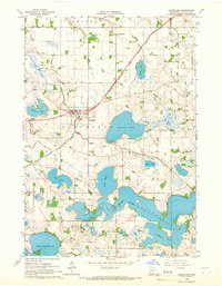
1965 · Cleveland
USGS Topo · 1:24,000
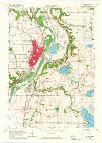
1965 · St Peter
USGS Topo · 1:24,000
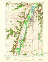
1965 · Le Sueur
USGS Topo · 1:24,000
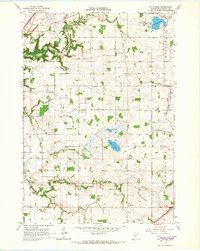
1965 · St Thomas
USGS Topo · 1:24,000
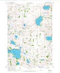
1966 · Cordova
USGS Topo · 1:24,000
1966 · Elysian
USGS Topo · 1:24,000