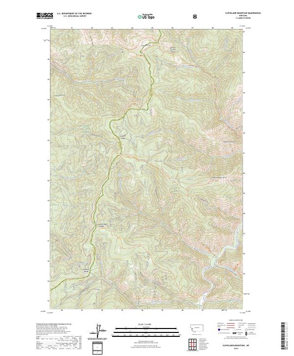
2024 Map of Cleveland Mountain
USGS Topo · Published 2024About this map
Cleveland Mtn stands as a central topographic anchor within a high-elevation landscape straddling the Ravalli and Granite County line. This mountainous territory is largely defined by the conservation boundaries of the Bitterroot National Forest, Lolo National Forest, and the protected Welcome Creek Wilderness. The drainage patterns are complex, with waters flowing through canyons such as Cinnabar Creek and Welcome Creek toward the southern boundary marked by Rock Creek. A network of high ridges and named passes, including Welcome Sawmill Saddle and Cinnamon Bear Saddle, suggests a legacy of forest management and backcountry travel. While the area lacks permanent settlements, the presence of Rock Creek Rd and Co Rd 4267 indicates vital access points for timber, recreation, and the surveying of the Sapphire Mountains range.
Find a feature on this map
52 named features on this map. Tap any name to fly to it.
Don’t see what you’re looking for? This feature index may not catch every label — zoom into the map to look around manually.
Map Details
Editions of this 2024 Cleveland Mountain Map
This is the sole edition of this map. No revisions or reprints were ever made.
Other maps of this area

1903 · Bonner
USGS Topo · 1:125,000

1909 · Sapphire
USGS Topo · 1:125,000

1947 · Butte
USGS Topo · 1:250,000

1958 · Butte
USGS Topo · 1:250,000

1959 · Cleveland Mountain
USGS Topo · 1:62,500

1959 · Ravenna
USGS Topo · 1:62,500

1960 · Butte
USGS Topo · 1:250,000

1962 · Butte
USGS Topo · 1:250,000
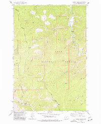
1974 · Sawmill Saddle
USGS Topo · 1:24,000
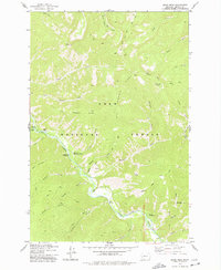
1975 · Quigg Peak
USGS Topo · 1:24,000