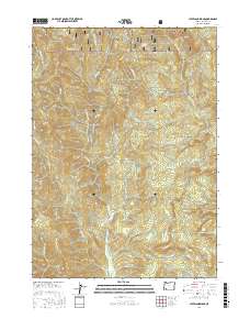
2017 Map of Cleveland Ridge
USGS Topo · Published 2017About this map
Cleveland Ridge and the surrounding Jackson County highlands are defined by a complex drainage network within the southern reaches of the Umpqua National Forest. The topography is marked by several significant peaks and ridges, including Board Mtn and Round Top, with the high point of Railroad Gap serving as a notable geographical landmark near the northern boundary. The landscape is primarily shaped by the headwaters and tributaries of several creeks, most notably Evans Cr, which is served by a network of forest roads like E Fork Evans Creek Rd and Evans Creek Rd. Smaller water sources such as Snowshoe Spring and Cold Spring dot the higher elevations. The presence of Buck Flat suggests one of the few level areas in this otherwise mountainous terrain, providing a point of reference for those tracing historical land use or timber access in the region during the early twenty-first century.
Find a feature on this map
36 named features on this map. Tap any name to fly to it.
Don’t see what you’re looking for? This feature index may not catch every label — zoom into the map to look around manually.
Map Details
Editions of this 2017 Cleveland Ridge Map
This is the sole edition of this map. No revisions or reprints were ever made.
Other maps of this area

1891 · Ashland
USGS Topo · 1:250,000

1893 · Ashland
USGS Topo · 1:250,000

1897 · Ashland
USGS Topo · 1:250,000

1904 · Riddle
USGS Topo · 1:125,000

1943 · Trail
USGS Topo · 1:62,500

1944 · Tiller
USGS Topo · 1:62,500

1954 · Days Creek
USGS Topo · 1:62,500

1954 · Wimer
USGS Topo · 1:62,500

1955 · Medford
USGS Topo · 1:250,000

1957 · Medford
USGS Topo · 1:250,000