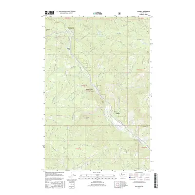
2017 Map of Cliffdell
USGS Topo · Published 2017About this map
Snoqualmie National Forest dominates this landscape along the border of Yakima and Kittitas counties, where the Little Naches River and Bumping River converge. The settlement of Cliffdell serves as a central hub, situated near the Peterson Cem and the distinctive geological formation of Edgar Rock. This area reflects a mid-20th-century mountain economy transitioning from early industry toward recreation, evidenced by the presence of Sawmill Flat and the popular Boulder Cave.
Find a feature on this map
63 named features on this map. Tap any name to fly to it.
Don’t see what you’re looking for? This feature index may not catch every label — zoom into the map to look around manually.
Map Details
Editions of this 2017 Cliffdell Map
This is the sole edition of this map. No revisions or reprints were ever made.
Other maps of this area

1897 · Mount Stuart
USGS Topo · 1:125,000

1899 · Ellensburg
USGS Topo · 1:125,000

1901 · Ellensburg
USGS Topo · 1:125,000

1901 · Snoqualmie Pass
USGS Topo · 1:125,000

1902 · Mount Aix
USGS Topo · 1:125,000

1902 · Mount Stuart
USGS Topo · 1:125,000

1903 · Snoqualmie
USGS Topo · 1:125,000

1904 · Mt Aix
USGS Topo · 1:125,000

1950 · Yakima
USGS Topo · 1:250,000

1957 · Wenatchee
USGS Topo · 1:250,000