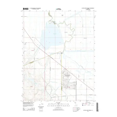
2015 Map of Clifton Court Forebay
USGS Topo · Published 2015About this map
Clifton Court Forebay and the surrounding delta landscape define this region where the borders of San Joaquin, Contra Costa, and Alameda counties meet. The map documents an intricate network of water management infrastructure, including the Governor Edmund G Brown California Aqueduct, the Delta-Mendota Canal, and the Bethany Reservoir. These engineered waterways cut through a natural geography of islands and sloughs, such as Victoria Island, Union Island, and Italian Slough. In the southern portion of the map, the residential development of Mountain House is visible, showing a planned grid of streets like Great Valley Pky and De Anza Blvd. The transition from the flat delta lands to the rising foothills near Mountain House Creek provides a clear view of the area's topographical shift, while the presence of Byron Airport in the northwest marks a modern transportation hub.
Find a feature on this map
75 named features on this map. Tap any name to fly to it.
Don’t see what you’re looking for? This feature index may not catch every label — zoom into the map to look around manually.
Map Details
Editions of this 2015 Clifton Court Forebay Map
This is the sole edition of this map. No revisions or reprints were ever made.
Other maps of this area

1907 · Tesla
USGS Topo · 1:62,500

1911 · Byron Hot Springs
USGS Topo · 1:31,680

1913 · Woodward Island
USGS Topo · 1:31,680

1913 · Holt
USGS Topo · 1:31,680

1914 · Brentwood
USGS Topo · 1:31,680

1914 · Bethany
USGS Topo · 1:31,680

1914 · Union Island
USGS Topo · 1:31,680

1916 · Byron Hot Springs
USGS Topo · 1:31,680

1916 · Byron
USGS Topo · 1:62,500

1916 · Tracy
USGS Topo · 1:31,680