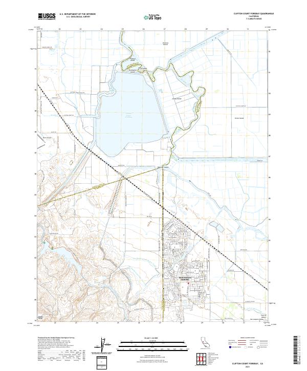
2021 Map of Clifton Court Forebay
USGS Topo · Published 2021About this map
Mountain House stands as a focal point of residential growth in this portion of the Central Valley, positioned where the flat delta lands meet the rising slopes of the Diablo Range. The landscape is defined by an intricate network of water management and irrigation infrastructure, dominated by the massive Clifton Court Forebay and the Governor Edmund G Brown California Aqueduct. This modern engineering sits alongside the natural and modified channels of the Old River and Italian Slough, which carve out a series of low-lying landmasses including Victoria Island, Coney Island, and Union Island.
Find a feature on this map
83 named features on this map. Tap any name to fly to it.
Don’t see what you’re looking for? This feature index may not catch every label — zoom into the map to look around manually.
Map Details
Editions of this 2021 Clifton Court Forebay Map
This is the sole edition of this map. No revisions or reprints were ever made.
Other maps of this area

1907 · Tesla
USGS Topo · 1:62,500

1911 · Byron Hot Springs
USGS Topo · 1:31,680

1913 · Woodward Island
USGS Topo · 1:31,680

1913 · Holt
USGS Topo · 1:31,680

1914 · Brentwood
USGS Topo · 1:31,680

1914 · Bethany
USGS Topo · 1:31,680

1914 · Union Island
USGS Topo · 1:31,680

1916 · Byron Hot Springs
USGS Topo · 1:31,680

1916 · Byron
USGS Topo · 1:62,500

1916 · Tracy
USGS Topo · 1:31,680