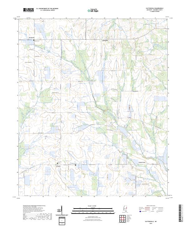
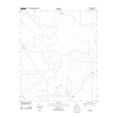
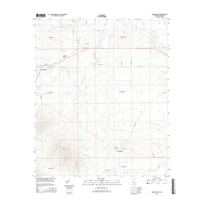
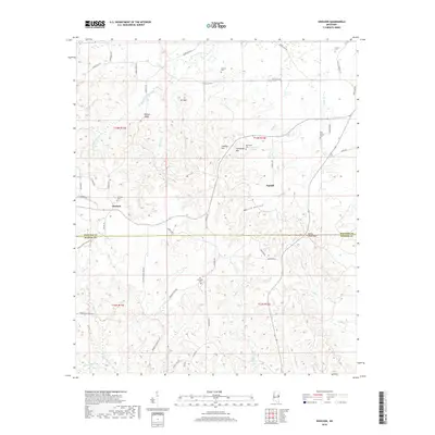
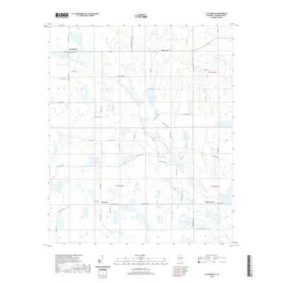
2024 Map of Cliftonville
USGS Topo · Published 2024About this map
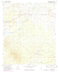
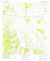
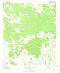
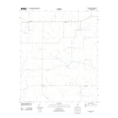
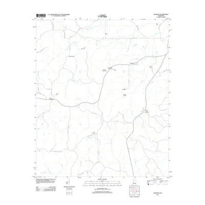
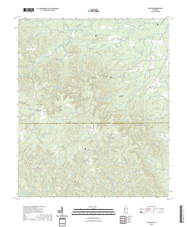
Cliftonville and the surrounding Noxubee County landscape are defined by the meandering course of Bogue Chitto and its numerous tributaries. This area reveals a classic rural Mississippi settlement pattern, with small communities like Deerbrook and Prairie Point connected by a network of local roads such as Old Macon Rd and Buggs Ferry Rd. The presence of several family and community burial grounds, including Deerbrook Cem, South Haven Cem, and the uniquely named X - Prairie Cem at X-Prairie, offers significant data for genealogical research in this part of the state. The terrain is crisscrossed by numerous waterways, including Plum Creek, Woodward Creek, and Tibby Creek, which likely dictated the early agricultural development and road placements. The road names themselves, such as Porter Swann Rd and Johnny Stewart Rd, preserve the names of local families who shaped this corner of the county.
Find a feature on this map
52 named features on this map. Tap any name to fly to it.
Don’t see what you’re looking for? This feature index may not catch every label — zoom into the map to look around manually.
Map Details
Editions of this 2024 Cliftonville Map
This is the sole edition of this map. No revisions or reprints were ever made.
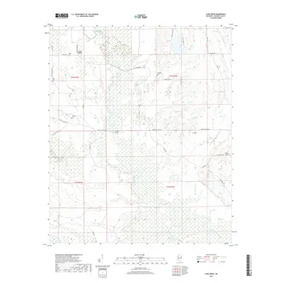
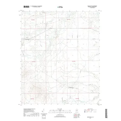
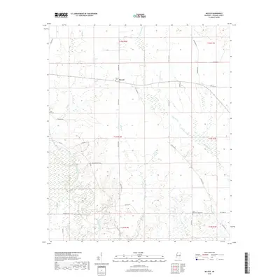
Historical Maps of X-Prairie Through Time
36 maps found
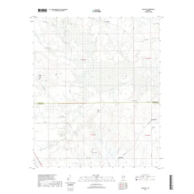
1963 Gholson
Noxubee County, MS
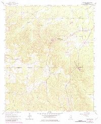
1973 Cliftonville
Noxubee County, MS
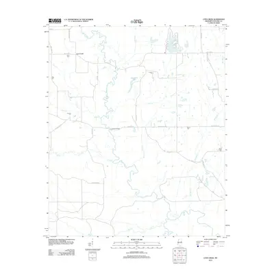
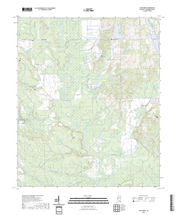
1973 Lynn Creek
Noxubee County, MS
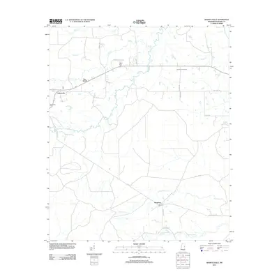
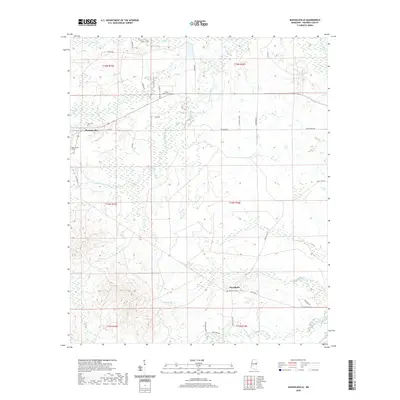
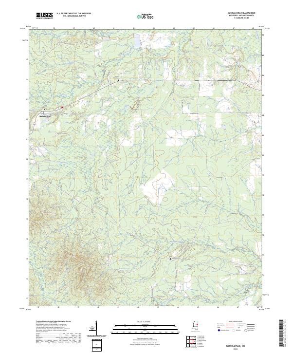
1973 Mashulaville
Noxubee County, MS
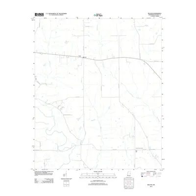
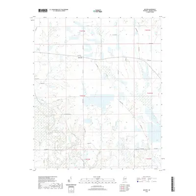
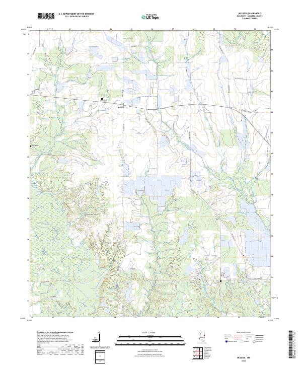
1973 McLeod
Noxubee County, MS
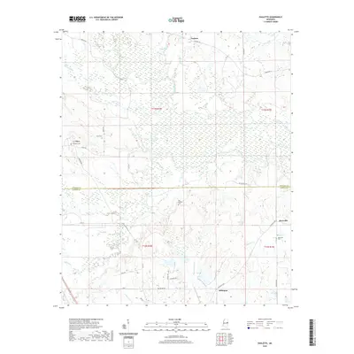
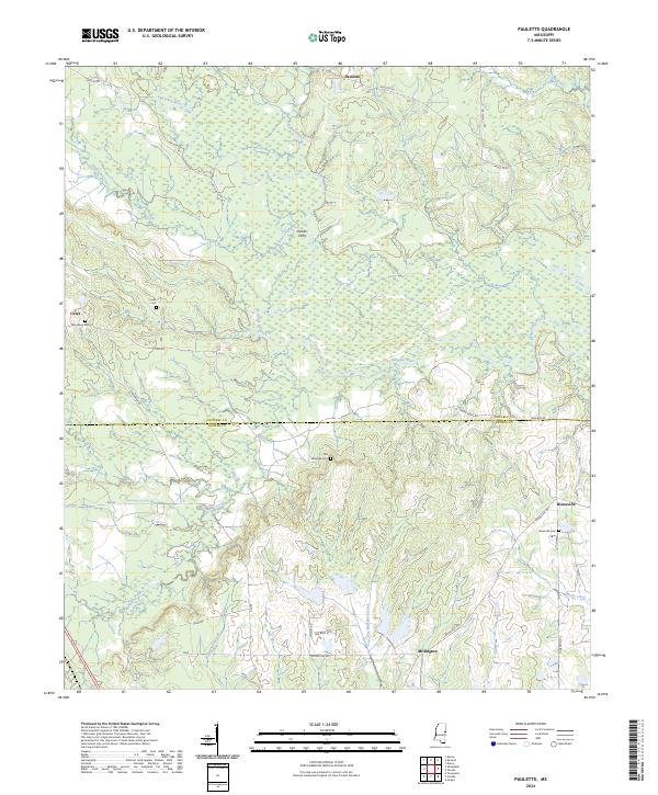
1973 Paulette
Noxubee County, MS
2012 Cliftonville
Noxubee County, MS
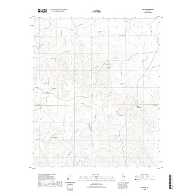
2012 Gholson
Noxubee County, MS
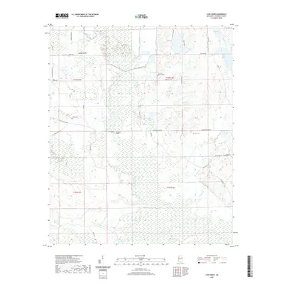
2012 Lynn Creek
Noxubee County, MS
2012 Mashulaville
Noxubee County, MS
2012 McLeod
Noxubee County, MS
2012 Paulette
Noxubee County, MS
2015 Cliftonville
Noxubee County, MS
2015 Gholson
Noxubee County, MS
2015 Lynn Creek
Noxubee County, MS
2015 Mashulaville
Noxubee County, MS
2015 McLeod
Noxubee County, MS
2015 Paulette
Noxubee County, MS
2018 Cliftonville
Noxubee County, MS
2018 Gholson
Noxubee County, MS
2018 Lynn Creek
Noxubee County, MS
2018 Mashulaville
Noxubee County, MS
2018 McLeod
Noxubee County, MS
2018 Paulette
Noxubee County, MS
2020 Cliftonville
Noxubee County, MS
2020 Gholson
Noxubee County, MS
2020 Lynn Creek
Noxubee County, MS
2020 Mashulaville
Noxubee County, MS
2020 McLeod
Noxubee County, MS
2020 Paulette
Noxubee County, MS
2024 Cliftonville
Noxubee County, MS
2024 Gholson
Noxubee County, MS
2024 Lynn Creek
Noxubee County, MS
2024 Mashulaville
Noxubee County, MS
2024 McLeod
Noxubee County, MS
2024 Paulette
Noxubee County, MS