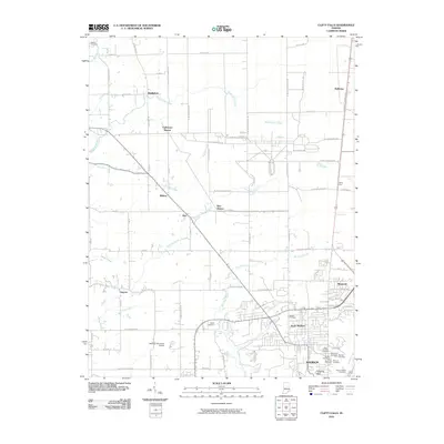
2010 Map of Clifty Falls
USGS Topo · Published 2010About this map
Madison and its northern suburbs are defined by a dramatic transition from the Ohio River valley up toward the rural interior of Jefferson County. The southern edge of the map features a dense concentration of historical markers, including numerous burial grounds such as Saint Josephs Cemetery and Saint Patricks Cemetery, alongside the prominent Hanging Rock landmark. To the north, the landscape opens into a network of creek branches and small settlements like Middlefork and Smyrna. The area's transit and industrial history is reflected in several stop-points along the rail lines, including Wirt Station and Galloways Station. Natural hydrology is a central feature here, as Big Clifty Creek carves through the terrain to create several named cataracts, including Clifty Falls, Tunnel Falls, and Hoffman Falls.
Find a feature on this map
87 named features on this map. Tap any name to fly to it.
Don’t see what you’re looking for? This feature index may not catch every label — zoom into the map to look around manually.
Map Details
Editions of this 2010 Clifty Falls Map
This is the sole edition of this map. No revisions or reprints were ever made.
Other maps of this area

1939 · Madison West
USGS Topo · 1:24,000

1948 · Madison West
USGS Topo · 1:24,000

1953 · Madison West
USGS Topo · 1:24,000

1953 · Madison East
USGS Topo · 1:24,000

1956 · Volga
USGS Topo · 1:24,000

1956 · Kent
USGS Topo · 1:24,000

1956 · Clifty Falls
USGS Topo · 1:24,000

1956 · Canaan
USGS Topo · 1:24,000

1956 · Louisville
USGS Topo · 1:250,000

1959 · San Jacinto
USGS Topo · 1:24,000