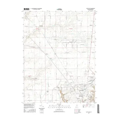
2016 Map of Clifty Falls
USGS Topo · Published 2016About this map
Madison and North Madison anchor the southern edge of this Jefferson County landscape, where the Ohio River bluffs give way to a network of creeks and significant natural drops. The area is defined by the carved paths of Big Clifty Cr and Little Clifty Cr, which create the dramatic geography within Clifty Falls State Park, including named landmarks like Hoffman Falls, Tunnel Falls, and Wallace Falls. This proximity of steep elevation to the town center is further illustrated by the notable Hanging Rock overlook.
Find a feature on this map
144 named features on this map. Tap any name to fly to it.
Don’t see what you’re looking for? This feature index may not catch every label — zoom into the map to look around manually.
Map Details
Editions of this 2016 Clifty Falls Map
This is the sole edition of this map. No revisions or reprints were ever made.
Other maps of this area

1939 · Madison West
USGS Topo · 1:24,000

1948 · Madison West
USGS Topo · 1:24,000

1953 · Madison West
USGS Topo · 1:24,000

1953 · Madison East
USGS Topo · 1:24,000

1956 · Volga
USGS Topo · 1:24,000

1956 · Kent
USGS Topo · 1:24,000

1956 · Clifty Falls
USGS Topo · 1:24,000

1956 · Canaan
USGS Topo · 1:24,000

1956 · Louisville
USGS Topo · 1:250,000

1959 · San Jacinto
USGS Topo · 1:24,000