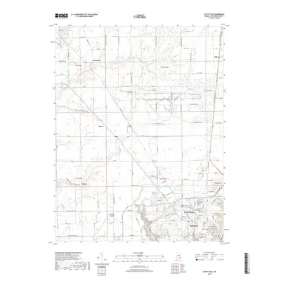
2019 Map of Clifty Falls
USGS Topo · Published 2019About this map
Madison and its northern suburbs are defined by the dramatic descent toward the Ohio River valley, where the urban grid of North Madison meets the deep carved ravines of the Big Clifty Cr and Little Clifty Cr systems. This landscape preserves a dense concentration of local history, from the high bluffs of Hanging Rock to a series of community-defining sites like Fairmount Cem and the Jewish Cem. Aviation history is well-represented by both the Madison Municipal Airport and the smaller Giltner Airport further north near Wirt. Beyond the city limits, the terrain transitions into a patchwork of rural settlements such as Smyrna, Middlefork, and Belleview, where old country roads follow the meandering courses of Chicken Run and Harberts Cr.
Find a feature on this map
191 named features on this map. Tap any name to fly to it.
Don’t see what you’re looking for? This feature index may not catch every label — zoom into the map to look around manually.
Map Details
Editions of this 2019 Clifty Falls Map
This is the sole edition of this map. No revisions or reprints were ever made.
Other maps of this area

1939 · Madison West
USGS Topo · 1:24,000

1948 · Madison West
USGS Topo · 1:24,000

1953 · Madison West
USGS Topo · 1:24,000

1953 · Madison East
USGS Topo · 1:24,000

1956 · Volga
USGS Topo · 1:24,000

1956 · Kent
USGS Topo · 1:24,000

1956 · Clifty Falls
USGS Topo · 1:24,000

1956 · Canaan
USGS Topo · 1:24,000

1956 · Louisville
USGS Topo · 1:250,000

1959 · San Jacinto
USGS Topo · 1:24,000