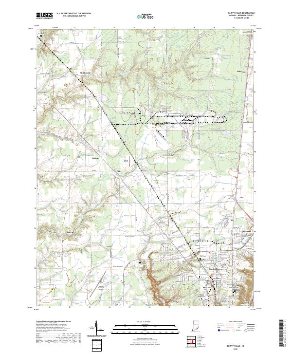
2022 Map of Clifty Falls
USGS Topo · Published 2022About this map
Madison and North Madison anchor this Jefferson County landscape, where the plateau drops sharply toward the Ohio River valley. The southern edge is defined by the steep, wooded ravines of Clifty Falls State Park, featuring dramatic overlooks and landmarks like Clifty Falls, Little Clifty Falls, and Hoffman Falls. The map reveals a dense network of local cemeteries, including the historic Jewish Cem, Fairmount Cem, and the Indiana Veterans Memorial Cem, which are vital for genealogical research in this long-settled part of Indiana.
Find a feature on this map
156 named features on this map. Tap any name to fly to it.
Don’t see what you’re looking for? This feature index may not catch every label — zoom into the map to look around manually.
Map Details
Editions of this 2022 Clifty Falls Map
This is the sole edition of this map. No revisions or reprints were ever made.
Other maps of this area

1939 · Madison West
USGS Topo · 1:24,000

1948 · Madison West
USGS Topo · 1:24,000

1953 · Madison West
USGS Topo · 1:24,000

1953 · Madison East
USGS Topo · 1:24,000

1956 · Volga
USGS Topo · 1:24,000

1956 · Kent
USGS Topo · 1:24,000

1956 · Clifty Falls
USGS Topo · 1:24,000

1956 · Canaan
USGS Topo · 1:24,000

1956 · Louisville
USGS Topo · 1:250,000

1959 · San Jacinto
USGS Topo · 1:24,000