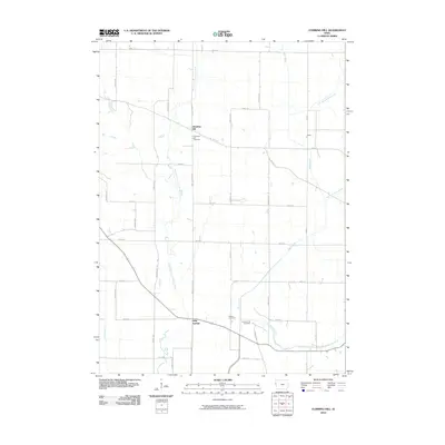
2010 Map of Climbing Hill
USGS Topo · Published 2010About this map
Climbing Hill sits at the junction of Moville Blacktop and Water St, serving as a central point in this rural Woodbury County landscape. The West Fork Little Sioux River meanders southward through the western half of the quadrangle, while the eastern portion is defined by the drainage of Wolf Creek and its branches. This 2010 survey illustrates a grid-like agricultural road network, where long stretches like Hancock Ave and Ida Ave connect small, dispersed communities.
Find a feature on this map
30 named features on this map. Tap any name to fly to it.
Don’t see what you’re looking for? This feature index may not catch every label — zoom into the map to look around manually.
Map Details
Editions of this 2010 Climbing Hill Map
This is the sole edition of this map. No revisions or reprints were ever made.
Other maps of this area

1954 · Fort Dodge
USGS Topo · 1:250,000

1955 · Sioux City
USGS Topo · 1:250,000

1957 · Fort Dodge
USGS Topo · 1:250,000

1958 · Sioux City
USGS Topo · 1:250,000

1958 · Fort Dodge
USGS Topo · 1:250,000

1959 · Sioux City
USGS Topo · 1:250,000

1964 · Lawton
USGS Topo · 1:24,000

1964 · Climbing Hill
USGS Topo · 1:24,000

1964 · Luton
USGS Topo · 1:24,000

1964 · Moville
USGS Topo · 1:24,000