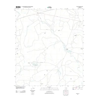
2012 Map of Cline
USGS Topo · Published 2012About this map
Industrial landmarks and the winding drainage of Turkey Cr define this landscape in Uvalde County. The presence of Uvalde Rock Asphalt Company Lake and White Company Lake, alongside the nearby Asphalt Mtn and Whites Pit, points to the region's long-standing connection to mining and asphalt production. Small settlements like Cline and Blewett are positioned along the transportation corridors, including Co RD 212 and Ranch Road 1022.
Find a feature on this map
34 named features on this map. Tap any name to fly to it.
Don’t see what you’re looking for? This feature index may not catch every label — zoom into the map to look around manually.
Map Details
Editions of this 2012 Cline Map
This is the sole edition of this map. No revisions or reprints were ever made.
Other maps of this area

1896 · Brackett
USGS Topo · 1:125,000

1897 · Brackett
USGS Topo · 1:125,000

1898 · Uvalde
USGS Topo · 1:125,000

1899 · Uvalde
USGS Topo · 1:125,000

1938 · Turkey Mountain
USGS Topo · 1:48,000

1943 · Turkey Mountain
USGS Topo · 1:62,500

1949 · Cline
USGS Topo · 1:62,500

1954 · San Antonio
USGS Topo · 1:250,000

1957 · San Antonio
USGS Topo · 1:250,000

1958 · Del Rio
USGS Topo · 1:250,000