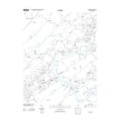
2013 Map of Clinton
USGS Topo · Published 2013About this map
Melton Hill Lake dominates the central landscape of this survey, winding through the valley and creating a complex shoreline that includes Florida Shoals and Opossum Shoals. To the west, the topography rises sharply toward Walden Ridge and Chestnut Ridge, providing a natural boundary for the sprawling residential developments of Oak Ridge near Jackson Square. The map reveals the intricate water network of the Clinch River valley, where major facilities like the Oak Ridge Municipal Marina and Clinton Marina serve the local boating community.
Find a feature on this map
335 named features on this map. Tap any name to fly to it.
Don’t see what you’re looking for? This feature index may not catch every label — zoom into the map to look around manually.
Map Details
Editions of this 2013 Clinton Map
This is the sole edition of this map. No revisions or reprints were ever made.
Other maps of this area

1893 · Briceville
USGS Topo · 1:125,000

1895 · Loudon
USGS Topo · 1:125,000

1895 · Briceville
USGS Topo · 1:125,000

1896 · Briceville
USGS Topo · 1:125,000

1935 · Bethel Valley
USGS Topo · 1:24,000

1935 · Bearden
USGS Topo · 1:24,000

1935 · Lovell
USGS Topo · 1:24,000

1936 · Duncan Flats
USGS Topo · 1:24,000

1936 · Windrock
USGS Topo · 1:24,000

1936 · Norris Dam
USGS Topo · 1:48,000