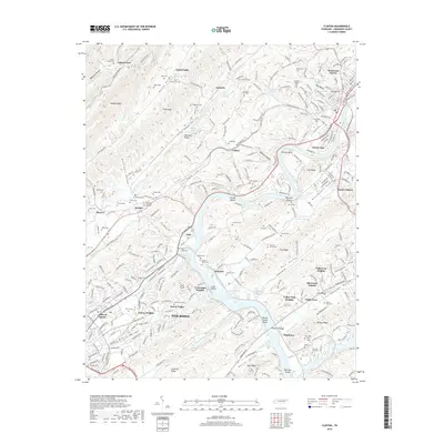
2019 Map of Clinton
USGS Topo · Published 2019About this map
Oak Ridge and the winding Clinch River define this 2019 survey, illustrating the complex suburban and industrial development of the Clinch River Valley. The map captures a high density of historical burial sites, including the Slave Cem and the County Farm Cem, which provide significant touchpoints for genealogists and local historians. To the north, the terrain transitions into the steep ridges of Walden Ridge and Blackoak Ridge, separated by agricultural and residential pockets like Dutch Valley and Leinarts.
Find a feature on this map
233 named features on this map. Tap any name to fly to it.
Don’t see what you’re looking for? This feature index may not catch every label — zoom into the map to look around manually.
Map Details
Editions of this 2019 Clinton Map
This is the sole edition of this map. No revisions or reprints were ever made.
Other maps of this area

1893 · Briceville
USGS Topo · 1:125,000

1895 · Loudon
USGS Topo · 1:125,000

1895 · Briceville
USGS Topo · 1:125,000

1896 · Briceville
USGS Topo · 1:125,000
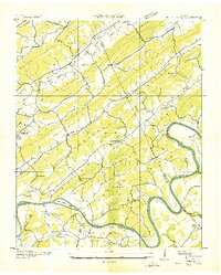
1935 · Bethel Valley
USGS Topo · 1:24,000
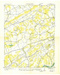
1935 · Bearden
USGS Topo · 1:24,000
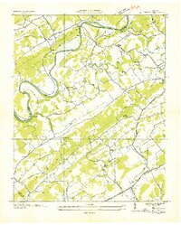
1935 · Lovell
USGS Topo · 1:24,000
1936 · Duncan Flats
USGS Topo · 1:24,000
1936 · Windrock
USGS Topo · 1:24,000
1936 · Norris Dam
USGS Topo · 1:48,000