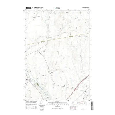
2014 Map of Clinton
USGS Topo · Published 2014About this map
The Kennebec River and Sebasticook River converge in this central Maine landscape, which is defined by a dense network of country roads and small communities at the border of Kennebec and Somerset counties. The village of Clinton occupies the southeast, while the riverfront settlement of Shawmut sits to the southwest near Bray Point. This 2014 survey records a landscape heavily etched by genealogical markers, from the Evergreen Cem in the east to several family-named burial grounds like Saul Cem and Wing Cem. Historically significant crossroads including Decker Corner, Morrison Corner, and Nyes Corner illustrate the region's traditional settlement patterns. Terrain features such as Battle Ridge and Town House Hill rise between the waterways of Beaver Brook and Twelvemile Brook, providing context for the rural development that has persisted here for generations.
Find a feature on this map
71 named features on this map. Tap any name to fly to it.
Don’t see what you’re looking for? This feature index may not catch every label — zoom into the map to look around manually.
Map Details
Editions of this 2014 Clinton Map
This is the sole edition of this map. No revisions or reprints were ever made.
Other maps of this area

1892 · Waterville
USGS Topo · 1:62,500

1913 · Skowhegan
USGS Topo · 1:62,500

1926 · Burnham
USGS Topo · 1:62,500

1930 · Pittsfield
USGS Topo · 1:48,000

1932 · Pittsfield
USGS Topo · 1:62,500

1933 · Pittsfield
USGS Topo · 1:62,500

1943 · Waterville
USGS Topo · 1:62,500

1948 · Bangor
USGS Topo · 1:250,000

1955 · Pittsfield
USGS Topo · 1:62,500

1955 · Skowhegan
USGS Topo · 1:62,500