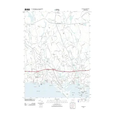
2012 Map of Clinton
USGS Topo · Published 2012About this map
The Connecticut shoreline at Madison and Killingworth meets the Long Island Sound at a point defined by tidal rivers and recreational history. Hammonasset State Park dominates the coastal landscape, separated from the surrounding neighborhoods of Seaview Beach and Harbor View by the Hammonasset River and Toms Creek. The interior is a mosaic of family-named heights like Roast Meat Hill and Spencer Hill, reflecting a long history of local land use from agriculture to woodland camps.
Find a feature on this map
263 named features on this map. Tap any name to fly to it.
Don’t see what you’re looking for? This feature index may not catch every label — zoom into the map to look around manually.
Map Details
Editions of this 2012 Clinton Map
This is the sole edition of this map. No revisions or reprints were ever made.
Other maps of this area

1893 · Guilford
USGS Topo · 1:62,500

1893 · Saybrook
USGS Topo · 1:62,500

1943 · Durham
USGS Topo · 1:25,000

1944 · Essex
USGS Topo · 1:31,680

1944 · Deep River
USGS Topo · 1:31,680

1947 · Hartford
USGS Topo · 1:250,000

1948 · Hartford
USGS Topo · 1:250,000

1951 · Clinton
USGS Topo · 1:31,680
1952 · Deep River
USGS Topo · 1:31,680

1952 · Haddam
USGS Topo · 1:31,680