
1952 Map of Haddam
USGS Topo · Published 1954About this map
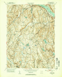
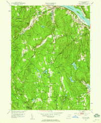
The Connecticut River serves as the focal point for this early 1950s survey of Middlesex County, where established river settlements like Haddam and Higganum sit alongside the winding tracks of the New York New Haven and Hartford RR. The landscape is defined by its water-powered industrial legacy and extensive state lands, including the vast Cockaponset State Forest and the recreational grounds of Chatfield Hollow State Park. Numerous small impoundments such as Black Shop Pond and Bell Shop Pond suggest a history of localized manufacturing and milling that shaped these valleys. For genealogists, the map is particularly rich in burial data, documenting numerous neighborhood graveyards including the Little City Cem, Burr District Cem, and the remote Stone House Cem, which anchor the smaller hamlets of Ponset and West Haddam.
Find a feature on this map
60 named features on this map. Tap any name to fly to it.
Don’t see what you’re looking for? This feature index may not catch every label — zoom into the map to look around manually.
Map Details
Editions of this 1952 Haddam Map
3 editions found
Other maps of this area

1892 · Gilead
USGS Topo · 1:62,500

1893 · Guilford
USGS Topo · 1:62,500

1893 · Middletown
USGS Topo · 1:62,500

1893 · Saybrook
USGS Topo · 1:62,500

1906 · Farmington
USGS Topo · 1:125,000

1928 · Cromwell
USGS Topo · 1:24,000

1943 · Durham
USGS Topo · 1:25,000

1944 · Essex
USGS Topo · 1:31,680

1944 · Deep River
USGS Topo · 1:31,680

1945 · Middle Haddam
USGS Topo · 1:31,680