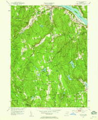
1952 Map of Haddam
USGS Topo · Published 1959About this map
The Connecticut River flows along the eastern edge of this landscape, defining the rural character of Middlesex County in the early 1950s. The settlement at Haddam and the industrial hub of Higganum are centers of gravity, while the interior is dominated by the dense woodlands of the Cockaponset State Forest. Numerous family-named landmarks and old cemeteries, such as the Old Rock Landing Cem and Burr District Cem, reflect the deep generational roots of the Haddam and Killingworth communities.
Find a feature on this map
61 named features on this map. Tap any name to fly to it.
Don’t see what you’re looking for? This feature index may not catch every label — zoom into the map to look around manually.
Map Details
Editions of this 1952 Haddam Map
3 editions found

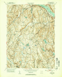
Other maps of this area

1892 · Gilead
USGS Topo · 1:62,500

1893 · Guilford
USGS Topo · 1:62,500

1893 · Middletown
USGS Topo · 1:62,500

1893 · Saybrook
USGS Topo · 1:62,500

1906 · Farmington
USGS Topo · 1:125,000

1928 · Cromwell
USGS Topo · 1:24,000

1943 · Durham
USGS Topo · 1:25,000

1944 · Essex
USGS Topo · 1:31,680

1944 · Deep River
USGS Topo · 1:31,680

1945 · Middle Haddam
USGS Topo · 1:31,680