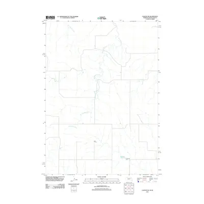
2011 Map of Clinton NE
USGS Topo · Published 2011About this map
Wounded Knee Creek meanders through this portion of the Pine Ridge region, defining the drainage patterns of a landscape marked by sparse rural development and open rangeland. The map detail highlights the Bethel Cemetery, a localized landmark of genealogical significance for families tied to the borderlands of South Dakota and Nebraska. Water management in this arid environment is visible through the infrastructure of the Holzberger Reservoir and the associated Holzberger Dam in the southeastern quadrant. These features, along with East Prong Wolf Creek, illustrate how the natural hydrology has been adapted to support the local agricultural and ranching economy in Oglala Lakota County during the early 21st century.
Find a feature on this map
5 named features on this map. Tap any name to fly to it.
Don’t see what you’re looking for? This feature index may not catch every label — zoom into the map to look around manually.
Map Details
Editions of this 2011 Clinton NE Map
This is the sole edition of this map. No revisions or reprints were ever made.
Other maps of this area

1955 · Hot Springs
USGS Topo · 1:250,000

1955 · Alliance
USGS Topo · 1:250,000

1957 · Alliance
USGS Topo · 1:250,000

1958 · Alliance
USGS Topo · 1:250,000

1967 · Manderson SW
USGS Topo · 1:24,000

1967 · Denby
USGS Topo · 1:24,000

1969 · Gordon
USGS Topo · 1:24,000

1969 · Clinton
USGS Topo · 1:24,000

1969 · Clinton NW
USGS Topo · 1:24,000

1969 · Clinton NE
USGS Topo · 1:24,000