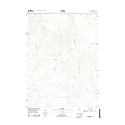
2014 Map of Clinton NE
USGS Topo · Published 2014About this map
Wounded Knee Cr meanders through the heart of this borderland landscape where the high plains of Nebraska meet South Dakota. The terrain is defined by a complex network of draws and ridges, including the drainage of E Prong Wolf Cr in the northwest. Human presence is sparse but deeply rooted, centered on remote markers like Bethel Cem situated on the central plateau. A series of section-line roads and tracks, such as 710th Rd and 250th Trl, crisscross the area, providing access to isolated homesteads and ranching improvements like Holzberger Reservoir. This survey captures the quiet, rural character of the Great Plains, illustrating how the grid of modern land management overlays the ancient, undulating paths of natural prairie watercourses.
Find a feature on this map
15 named features on this map. Tap any name to fly to it.
Don’t see what you’re looking for? This feature index may not catch every label — zoom into the map to look around manually.
Map Details
Editions of this 2014 Clinton NE Map
This is the sole edition of this map. No revisions or reprints were ever made.
Other maps of this area

1955 · Hot Springs
USGS Topo · 1:250,000

1955 · Alliance
USGS Topo · 1:250,000

1957 · Alliance
USGS Topo · 1:250,000

1958 · Alliance
USGS Topo · 1:250,000

1967 · Manderson SW
USGS Topo · 1:24,000

1967 · Denby
USGS Topo · 1:24,000

1969 · Gordon
USGS Topo · 1:24,000

1969 · Clinton
USGS Topo · 1:24,000

1969 · Clinton NW
USGS Topo · 1:24,000

1969 · Clinton NE
USGS Topo · 1:24,000