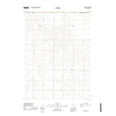
2017 Map of Clinton NE
USGS Topo · Published 2017About this map
Wounded Knee Creek meanders through this landscape on the border of South Dakota and Nebraska, cutting a distinct path across the Sheridan County line. This 2017 survey reveals a remote, ranching-focused terrain defined by an extensive network of named local roads and trails such as 245th Trail and 763rd Trail. A small pocket of local history is preserved at Bethel Cemetery, located near the intersection of several trails, providing a primary genealogical anchor for the area. In the southern portion of the quadrangle, the Holzberger Reservoir serves as a key water feature amidst the complex drainages of East Prong Wolf Creek. The map layout highlights the township and range divisions, showing the structured land management that continues to govern this rural borderland.
Find a feature on this map
22 named features on this map. Tap any name to fly to it.
Don’t see what you’re looking for? This feature index may not catch every label — zoom into the map to look around manually.
Map Details
Editions of this 2017 Clinton NE Map
This is the sole edition of this map. No revisions or reprints were ever made.
Other maps of this area

1955 · Hot Springs
USGS Topo · 1:250,000

1955 · Alliance
USGS Topo · 1:250,000

1957 · Alliance
USGS Topo · 1:250,000

1958 · Alliance
USGS Topo · 1:250,000

1967 · Manderson SW
USGS Topo · 1:24,000

1967 · Denby
USGS Topo · 1:24,000

1969 · Gordon
USGS Topo · 1:24,000

1969 · Clinton
USGS Topo · 1:24,000

1969 · Clinton NW
USGS Topo · 1:24,000

1969 · Clinton NE
USGS Topo · 1:24,000