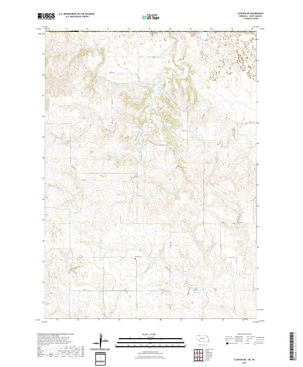
2021 Map of Clinton NE
USGS Topo · Published 2021About this map
Wounded Knee Cr meanders through this section of Sheridan Co, Nebraska, defining much of the drainage pattern across a landscape marked by rhythmic ridgelines and draws. The central portion of the survey is anchored by Bethel Cem, a notable landmark for local history and genealogy research, situated near the intersection of several section roads and trails. To the north, E Prong Wolf Cr cuts through the terrain, while the southern reaches feature the Holzberger Reservoir. The map reveals a systematic grid of rural transit including 710 Rd and various numbered routes like 245th Trl and 763rd Trl, which facilitate movement through the open country. This layout reflects the enduring cadastral organization of the High Plains, where remote water sources and small cemeteries serve as primary points of orientation.
Find a feature on this map
22 named features on this map. Tap any name to fly to it.
Don’t see what you’re looking for? This feature index may not catch every label — zoom into the map to look around manually.
Map Details
Editions of this 2021 Clinton NE Map
This is the sole edition of this map. No revisions or reprints were ever made.
Other maps of this area

1955 · Hot Springs
USGS Topo · 1:250,000

1955 · Alliance
USGS Topo · 1:250,000

1957 · Alliance
USGS Topo · 1:250,000

1958 · Alliance
USGS Topo · 1:250,000

1967 · Manderson SW
USGS Topo · 1:24,000

1967 · Denby
USGS Topo · 1:24,000

1969 · Gordon
USGS Topo · 1:24,000

1969 · Clinton
USGS Topo · 1:24,000

1969 · Clinton NW
USGS Topo · 1:24,000

1969 · Clinton NE
USGS Topo · 1:24,000