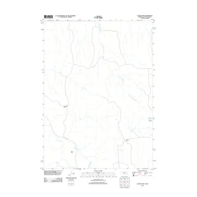
2011 Map of Clinton NW
USGS Topo · Published 2011About this map
Mission Ranch sits near the southern border of this landscape, where the high plains of the Nebraska-South Dakota border transition into a network of seasonal drainages. The area is defined by the headwaters of South Prong Wolf Creek and Patton Creek, which carve subtle valleys across the terrain. Two prominent elevations, Rattlesnake Peak and Mount Maria, provide orientation for those navigating the open range. Water management is a critical feature of this ranching country, evidenced by Otte Dam and the accompanying Otte Reservoir in the eastern section. The primary thoroughfare, Larabee Rd, follows the course of Larrabee Creek, illustrating how early transportation routes in this part of the Great Plains were dictated by the proximity to water and the natural contours of the land.
Find a feature on this map
9 named features on this map. Tap any name to fly to it.
Don’t see what you’re looking for? This feature index may not catch every label — zoom into the map to look around manually.
Map Details
Editions of this 2011 Clinton NW Map
This is the sole edition of this map. No revisions or reprints were ever made.
Other maps of this area

1955 · Hot Springs
USGS Topo · 1:250,000

1955 · Alliance
USGS Topo · 1:250,000

1957 · Alliance
USGS Topo · 1:250,000

1958 · Alliance
USGS Topo · 1:250,000

1967 · Pine Ridge
USGS Topo · 1:24,000

1967 · Manderson SW
USGS Topo · 1:24,000

1967 · Denby
USGS Topo · 1:24,000

1969 · Clinton
USGS Topo · 1:24,000

1969 · Whiteclay
USGS Topo · 1:24,000

1969 · Clinton NW
USGS Topo · 1:24,000