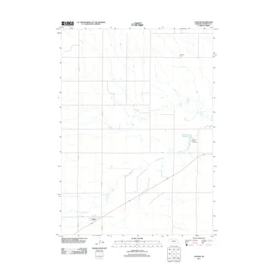
2011 Map of Clinton
USGS Topo · Published 2011About this map
Clinton sits at the southern edge of this Sheridan County landscape, where the local street grid including Love St and Road 145 meets the regional highway system. The terrain is defined by the winding course of Antelope Creek, which flows through the center of the quadrangle and is managed by several water control structures. These include the Antelope Creek Dam 60-A and the associated Antelope Creek Reservoir 60-A, providing essential water management for this rural agricultural region. To the northeast, the Johnson Dam further illustrates the importance of hydraulic engineering in supporting the local ranching and farming economy. The map provides a clear look at the intersection of early 21st-century infrastructure and natural watercourses, showing the surveyed section lines and rural roads like Road 1295 that organize the Nebraska plains.
Find a feature on this map
9 named features on this map. Tap any name to fly to it.
Don’t see what you’re looking for? This feature index may not catch every label — zoom into the map to look around manually.
Map Details
Editions of this 2011 Clinton Map
This is the sole edition of this map. No revisions or reprints were ever made.
Other maps of this area

1955 · Alliance
USGS Topo · 1:250,000

1957 · Alliance
USGS Topo · 1:250,000

1958 · Alliance
USGS Topo · 1:250,000

1966 · Rushville
USGS Topo · 1:24,000

1969 · Gordon
USGS Topo · 1:24,000

1969 · Clinton
USGS Topo · 1:24,000

1969 · Clinton NW
USGS Topo · 1:24,000

1969 · Clinton NE
USGS Topo · 1:24,000

1969 · Clinton SW
USGS Topo · 1:24,000
1969 · Rushville 4 NW
USGS Topo · 1:24,000