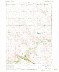
1969 Map of Rushville 4 NW
USGS Topo · Published 1972About this map
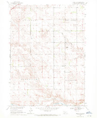
The Niobrara River carves a deep valley across the southern portion of this landscape, creating a distinct break from the high tablelands of West Gordon and East Gordon. Rural life in this Sheridan County ranching country is anchored by a network of one-room schoolhouses and community landmarks, including the Valley Union Sch, Mount Hope Sch, and Prairie Plain Sch. The presence of the Mount Hope Cem suggests a long-standing settlement pattern near the head of Sand Draw. Infrastructure is sparse but vital, represented by the Eddie Hill Bridge and Mills Bridge crossing the river, alongside the Flueckinger Landing Strip providing air access to this remote prairie. This 1960s survey documents a landscape defined by water management and topography, noted by several marked wells and a river Gaging Sta.
Find a feature on this map
14 named features on this map. Tap any name to fly to it.
Don’t see what you’re looking for? This feature index may not catch every label — zoom into the map to look around manually.
Map Details
Editions of this 1969 Rushville 4 NW Map
2 editions found
Other maps of this area

1955 · Alliance
USGS Topo · 1:250,000

1957 · Alliance
USGS Topo · 1:250,000

1958 · Alliance
USGS Topo · 1:250,000

1969 · Rushville 4 SW
USGS Topo · 1:24,000

1969 · Gordon
USGS Topo · 1:24,000
1969 · Gordon SE
USGS Topo · 1:24,000

1969 · Clinton
USGS Topo · 1:24,000

1969 · Rushville SE
USGS Topo · 1:24,000
1969 · Rushville 4 NE
USGS Topo · 1:24,000
1969 · Rushville NE
USGS Topo · 1:24,000