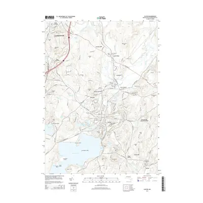
2015 Map of Clinton
USGS Topo · Published 2015About this map
The Nashua River and its northern fork define the industrial and residential corridors of this central Massachusetts landscape. In the town of Clinton, the engineering legacy of the nineteenth century is evident at the Wachusett Dam, which contains the massive Wachusett Reservoir. This area reflects a complex water-management history, shown through features like the Cosgrove Aqueduct and the Lancaster Millpond. Further north, South Lancaster serves as an educational and cultural hub, anchored by the Atlantic Union Coll.
Find a feature on this map
99 named features on this map. Tap any name to fly to it.
Don’t see what you’re looking for? This feature index may not catch every label — zoom into the map to look around manually.
Map Details
Editions of this 2015 Clinton Map
This is the sole edition of this map. No revisions or reprints were ever made.
Other maps of this area

1885 · Worcester
USGS Topo · 1:62,500

1886 · Worcester
USGS Topo · 1:62,500

1887 · Marlboro
USGS Topo · 1:62,500

1887 · Fitchburg
USGS Topo · 1:62,500

1889 · Marlboro
USGS Topo · 1:62,500

1889 · Fitchburg
USGS Topo · 1:62,500

1892 · Worcester
USGS Topo · 1:62,500

1893 · Fitchburg
USGS Topo · 1:62,500

1893 · Groton
USGS Topo · 1:62,500

1896 · Marlboro
USGS Topo · 1:62,500