Loading...
Loading map...2022 Map of Clintwood
USGS Topo · Published 2022About this map
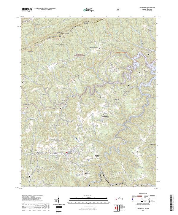
The Dickenson County Courthouse serves as the focal point for the town of Clintwood, where local geography is defined by the winding course of the Pound River and the Cranesnest River. This 2022 survey illustrates a landscape of high ridges and narrow hollows, characteristic of the Cumberland Plateau, where settlements like Flemingtown, Isom, and Clinchco are linked by rural state routes such as State Rte 83.
Find a feature on this map
98 named features on this map. Tap any name to fly to it.
Don’t see what you’re looking for? This feature index may not catch every label — zoom into the map to look around manually.
Map Details
Date Portrayed2022
Date Published2022
PublisherU.S. Geological Survey
Map TypeTopographic
Scale1:24000
Physical Dimensions24 x 29 inches
Editions of this 2022 Clintwood Map
This is the sole edition of this map. No revisions or reprints were ever made.
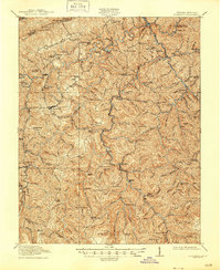
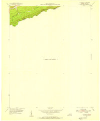
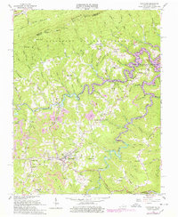
Historical Maps of Ramsey Flats Through Time
5 maps found

Featured Locations
Source Details
SourceU.S. Geological Survey
CopyrightPublic Domain