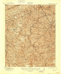
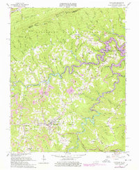
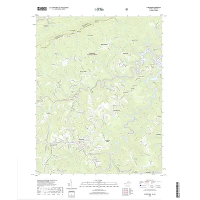
1915 Map of Clintwood
USGS Topo · Published 1945About this map
Clintwood serves as the focal point of this Virginia-Kentucky border survey, captured during the height of early 20th-century rural settlement. The geography is defined by a dense network of mountain gaps and watercourses, including the Pound River and Cranesnest River, which dictated the location of scattered communities like Stratton, Dwale, and Smith Corners. A striking number of localized schoolhouses are documented throughout the hills, from the Millard Kerr School to the Twin Branch School, illustrating the decentralized nature of education in Dickenson County at this time.
Find a feature on this map
139 named features on this map. Tap any name to fly to it.
Don’t see what you’re looking for? This feature index may not catch every label — zoom into the map to look around manually.
Map Details
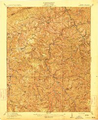
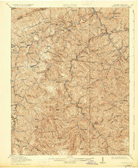
Editions of this 1915 Clintwood Map
3 editions found
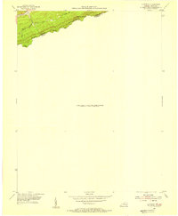
Historical Maps of Clintwood Through Time
9 maps found

1913 Clintwood
Dickenson County, VA
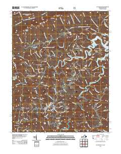
1915 Clintwood
Dickenson County, VA
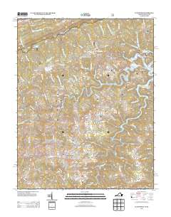
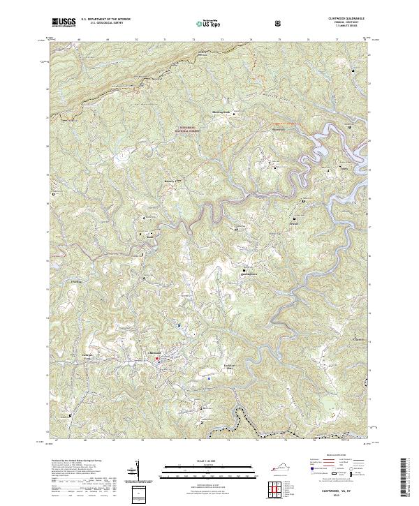
1954 Clintwood
Dickenson County, VA
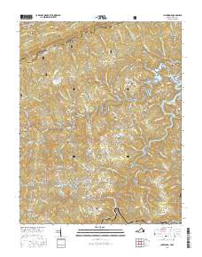
1963 Clintwood
Dickenson County, VA
2011 Clintwood
Dickenson County, VA
2013 Clintwood
Dickenson County, VA
2016 Clintwood
Dickenson County, VA
2019 Clintwood
Dickenson County, VA
2022 Clintwood
Dickenson County, VA