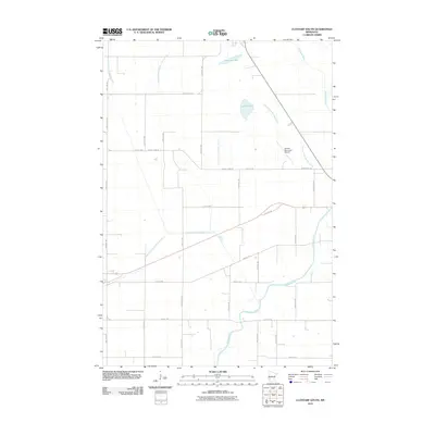
2010 Map of Clontarf South
USGS Topo · Published 2010About this map
The Chippewa River meanders through this agricultural landscape south of Benson, illustrating the intricate drainage network of Swift County in the early 21st century. The map reveals an extensive system of engineered waterways, including Judicial Ditch Number Nine, Judicial Ditch Number Eighty, and County Ditch Number Seven, which support the region's productive farmland. These man-made channels contrast with the natural basins of Malachy Lake and Lynch Lake found in the northern reaches of the quadrangle.
Find a feature on this map
31 named features on this map. Tap any name to fly to it.
Don’t see what you’re looking for? This feature index may not catch every label — zoom into the map to look around manually.
Map Details
Editions of this 2010 Clontarf South Map
This is the sole edition of this map. No revisions or reprints were ever made.
Other maps of this area

1953 · Saint Cloud
USGS Topo · 1:250,000

1957 · Saint Cloud
USGS Topo · 1:250,000

1958 · Saint Cloud
USGS Topo · 1:250,000

1958 · Gracelock NE
USGS Topo · 1:24,000

1958 · Big Bend City
USGS Topo · 1:24,000

1958 · Gracelock NW
USGS Topo · 1:24,000

1968 · Danvers
USGS Topo · 1:24,000

1968 · Hancock
USGS Topo · 1:24,000

1968 · Lake Hassel
USGS Topo · 1:24,000

1968 · Benson
USGS Topo · 1:24,000