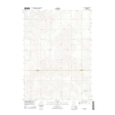
2014 Map of Closter
USGS Topo · Published 2014About this map
Closter sits at a remote crossroads in the northern Sandhills region, where the section-line grid of roads meets a rolling landscape carved by numerous small watercourses. This agricultural terrain is defined by the headwaters of several streams, including Cedar Cr and Saint Clair Cr, which drain the undulating fields. The settlement pattern remains sparse, reflecting the large-scale ranching and farming operations of Boone Co and Antelope Co near their shared border. A primary landmark for local history and genealogy is the Zion W Cem, located near the intersection of 120th St and 529th Ave. The map illustrates a strictly rural economy, where the land is partitioned into precise square sections for tillage and grazing, connected by a network of gravel routes such as 110th St and 839th Rd.
Find a feature on this map
23 named features on this map. Tap any name to fly to it.
Don’t see what you’re looking for? This feature index may not catch every label — zoom into the map to look around manually.
Map Details
Editions of this 2014 Closter Map
This is the sole edition of this map. No revisions or reprints were ever made.
Other maps of this area

1955 · Broken Bow
USGS Topo · 1:250,000

1955 · Sioux City
USGS Topo · 1:250,000

1955 · Fremont
USGS Topo · 1:250,000

1955 · O'Neill
USGS Topo · 1:250,000

1956 · Broken Bow
USGS Topo · 1:250,000

1957 · Fremont
USGS Topo · 1:250,000

1958 · Sioux City
USGS Topo · 1:250,000

1958 · Fremont
USGS Topo · 1:250,000

1959 · O'Neill
USGS Topo · 1:250,000

1959 · Sioux City
USGS Topo · 1:250,000