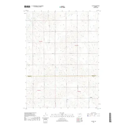
2017 Map of Closter
USGS Topo · Published 2017About this map
The border of Antelope and Boone Counties divides this agricultural landscape, where the township grid system dictates the movement of travel and trade. In the southern portion of the quadrangle, the small settlement of Closter sits along Shell Creek, serving as a focal point for the surrounding farmsteads. Local history and genealogy interests are centered at Zion West Cemetery, located along 290th Avenue. The terrain is defined by a network of drainage systems, including Saint Clair Creek and Ives Creek, which carve subtle valleys through the prairie. This 2017 survey documents the modern layout of the rural road network, from standard section-line routes like 100th Street to the more primitive Minimum Maintance Road, reflecting the enduring reliance on these corridors for accessing Nebraska's interior farm country.
Find a feature on this map
33 named features on this map. Tap any name to fly to it.
Don’t see what you’re looking for? This feature index may not catch every label — zoom into the map to look around manually.
Map Details
Editions of this 2017 Closter Map
This is the sole edition of this map. No revisions or reprints were ever made.
Other maps of this area

1955 · Broken Bow
USGS Topo · 1:250,000

1955 · Sioux City
USGS Topo · 1:250,000

1955 · Fremont
USGS Topo · 1:250,000

1955 · O'Neill
USGS Topo · 1:250,000

1956 · Broken Bow
USGS Topo · 1:250,000

1957 · Fremont
USGS Topo · 1:250,000

1958 · Sioux City
USGS Topo · 1:250,000

1958 · Fremont
USGS Topo · 1:250,000

1959 · O'Neill
USGS Topo · 1:250,000

1959 · Sioux City
USGS Topo · 1:250,000