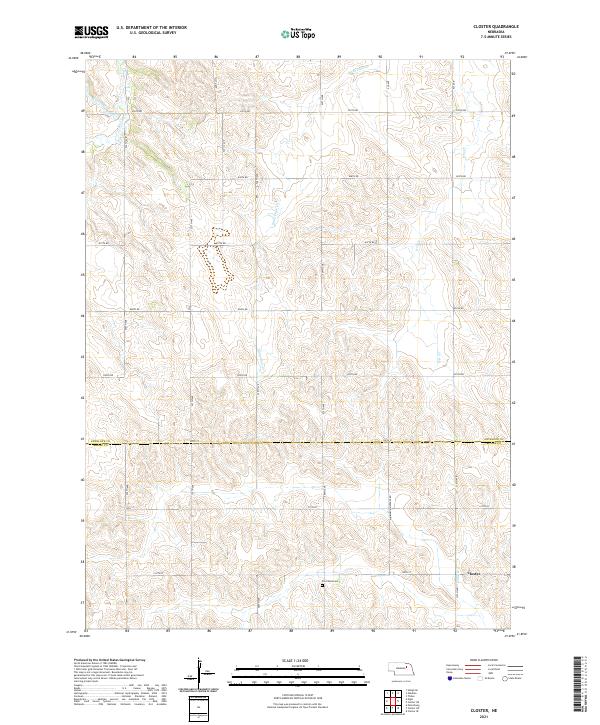
2021 Map of Closter
USGS Topo · Published 2021About this map
Saint Clair Cr and several other tributaries wind through the rolling agricultural landscape of northern Nebraska in this 2021 study. The terrain is defined by a strict section-line grid of rural roads, including 839th Rd and 310th Ave, which separate vast tracts of farmland. The small settlement of Closter is positioned in the southeastern portion of the map near the headwaters of N Shell Cr, serving as a quiet focal point for the surrounding rural community.
Find a feature on this map
34 named features on this map. Tap any name to fly to it.
Don’t see what you’re looking for? This feature index may not catch every label — zoom into the map to look around manually.
Map Details
Editions of this 2021 Closter Map
This is the sole edition of this map. No revisions or reprints were ever made.
Other maps of this area

1955 · Broken Bow
USGS Topo · 1:250,000

1955 · Sioux City
USGS Topo · 1:250,000

1955 · Fremont
USGS Topo · 1:250,000

1955 · O'Neill
USGS Topo · 1:250,000

1956 · Broken Bow
USGS Topo · 1:250,000

1957 · Fremont
USGS Topo · 1:250,000

1958 · Sioux City
USGS Topo · 1:250,000

1958 · Fremont
USGS Topo · 1:250,000

1959 · O'Neill
USGS Topo · 1:250,000

1959 · Sioux City
USGS Topo · 1:250,000