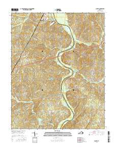
2016 Map of Clover
USGS Topo · Published 2016About this map
The Roanoke River snakes through the center of this landscape, forming the natural border between Charlotte and Halifax counties. This 2016 survey captures the rural character of the area around the village of Clover, where a network of local roads such as Mount Laurel Rd and Black Walnut Rd connect scattered homesteads and small family farms. To the south, the river widens into the northern reaches of the John H. Kerr Reservoir, a significant geographic feature that dominates the drainage patterns of the surrounding hills.
Find a feature on this map
79 named features on this map. Tap any name to fly to it.
Don’t see what you’re looking for? This feature index may not catch every label — zoom into the map to look around manually.
Map Details
Editions of this 2016 Clover Map
This is the sole edition of this map. No revisions or reprints were ever made.
Other maps of this area

1941 · Clarksville
USGS Topo · 1:48,000

1943 · Clarksville
USGS Topo · 1:62,500

1953 · South Boston
USGS Topo · 1:62,500

1953 · Greensboro
USGS Topo · 1:250,000

1954 · Greensboro
USGS Topo · 1:250,000

1954 · Clover
USGS Topo · 1:62,500

1954 · Halifax
USGS Topo · 1:62,500

1957 · South Boston
USGS Topo · 1:62,500

1957 · Clarksville
USGS Topo · 1:62,500

1962 · Greensboro
USGS Topo · 1:250,000